Large airport · Bangladesh

Shah Amanat International AirportVGEG
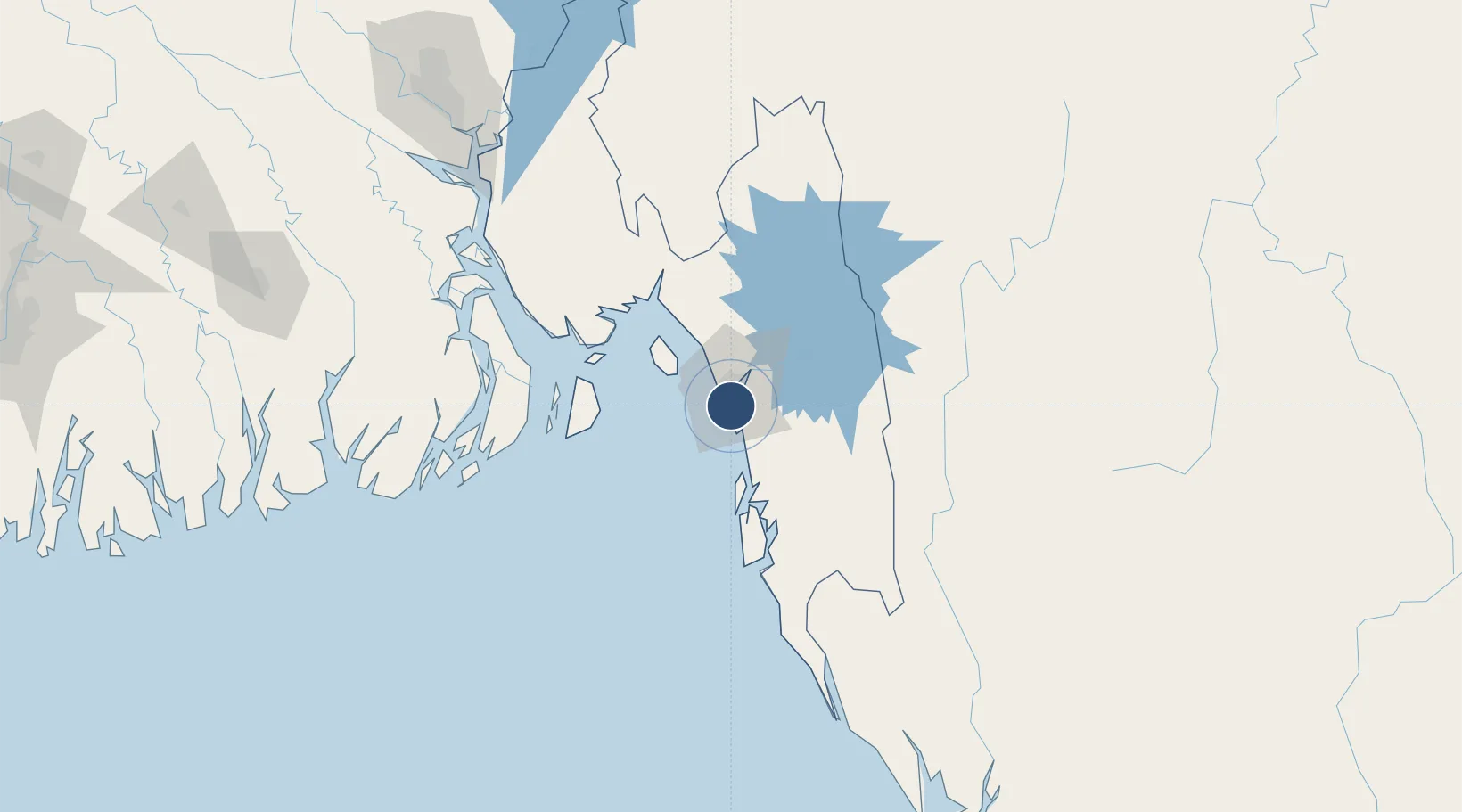
22.2496°, 91.8133°
9,646 ft
Longest runway
1
Runways
12 ft
Elevation

Runway & Layout

Shah Amanat International Airport runway & taxiway layout
Runway & taxiway layout — OpenStreetMap (ODbL) / OurAirports

Radio Frequencies

ATIS
127.6 MHz
TWR
118.7 MHz
CHITTAGONG TWR
GND
121.8 MHz
CHITTAGONG GND
OurAirports

Navaids

CTG VOR-DME Chittagong 113.40 MHz
EG NDB Chittagong 287 kHz
OurAirports

Runways · 1

RunwayDimensions SurfaceTrue headingLit
05/23 9,646 × 148ft Concrete 048°
OurAirports

Airport Specifications

IATA code
CGP
OurAirports
ICAO code
VGEG
OurAirports
Airport class
Large airport
OurAirports
Scheduled service
Yes
OurAirports
Runway surface
Concrete
OurAirports
Served city
Chattogram (Chittagong)
OurAirports

Location

Location of VGEG
Natural Earth 10m (public domain) · Chittagong · VGEG · 22.25, 91.81GoogleOSMYandex

Nearby Logistics Neighbours

Airports
  1. 1Cox's Bazar Airport89 km
  2. 2Saiha Helipad124 km
  3. 3Barisal Airport167 km
  4. 4Agartala - Maharaja Bir Bikram Airport191 km
  5. 5Lengpui Airport195 km
Nearest neighbours — logibook spatial index (haversine) over the source coordinates
Cities
  1. 1Chattogram10 km
  2. 2Payra Port163 km
  3. 3Narayanganj198 km
  4. 4Munshiganj198 km
  5. 5Panchashar199 km
Nearest neighbours — logibook spatial index (haversine) over the source coordinates
Ports
  1. 1Chittagong8 km
  2. 2Mongla229 km
  3. 3Sittwe261 km
  4. 4Calcutta359 km
  5. 5Haldia Port385 km
Nearest neighbours — logibook spatial index (haversine) over the source coordinates
Trade Zones
  1. 1Karnapuli Export Processing Zone4 km
  2. 2Anwara Economic Zone (Gahira)4 km
  3. 3Anowara Economic Zone -24 km
  4. 4Chinese Economic And Industrial Zone (CEIZ)6 km
  5. 5Chittagong Export Processing Zone6 km
Nearest neighbours — logibook spatial index (haversine) over the source coordinates
DatabookThe Record of Consolidated Knowledge
Bangladesh beyond logistics?
Browse databook

All Sources

AirportsOurAirports
Public domain
Portsthe NGA World Port Index
Public domain (US gov)
LocationsUN/LOCODE
UN/LOCODE — free
Trade Zonesthe World Bank SEZ database
CC BY 4.0
Trade ZonesOpen Zone Map
CC BY
InfrastructureOpenStreetMap
ODbL 1.0
← Bangladesh airports