UN/LOCODE hub · Bangladesh
BDCGP
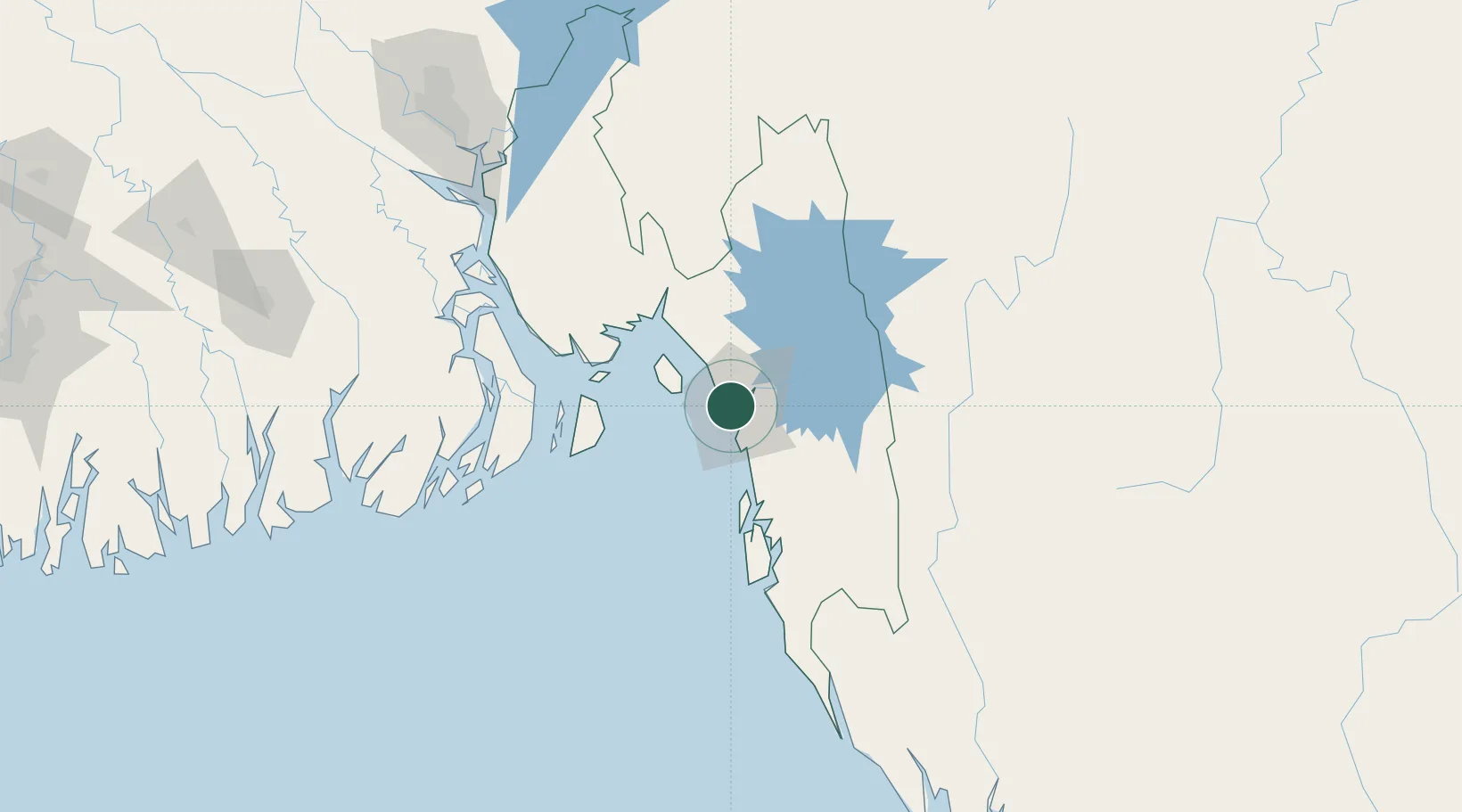
Chattogram
22.3364°, 91.7919°
3,920,222
Population
3
Transport functions
2
Container terminals
Transport Functions
Port
Airport
Postal
Hub Profile
Place type
Regional capital
Region
Chittagong
Population
3,920,222
Time zone
Asia/Dhaka
Elevation
15 m
Logistics facilities
46
Container terminals
2
Location
Nearby Logistics Neighbours
Cities
- 1Payra Port163 km
- 2Narayanganj190 km
- 3Munshiganj190 km
- 4Panchashar190 km
- 5Pangaon201 km
Ports
- 1Mongla226 km
- 2Sittwe271 km
- 3Calcutta356 km
- 4Haldia Port384 km
- 5Dhamra527 km
Airports
- 1Shah Amanat International Airport10 km
- 2Cox's Bazar Airport99 km
- 3Saiha Helipad124 km
- 4Barisal Airport162 km
- 5Agartala - Maharaja Bir Bikram Airport181 km
Trade Zones
DatabookThe Record of Consolidated Knowledge
Bangladesh beyond logistics?