Medium airport · Bangladesh
Cox's Bazar AirportVGCB
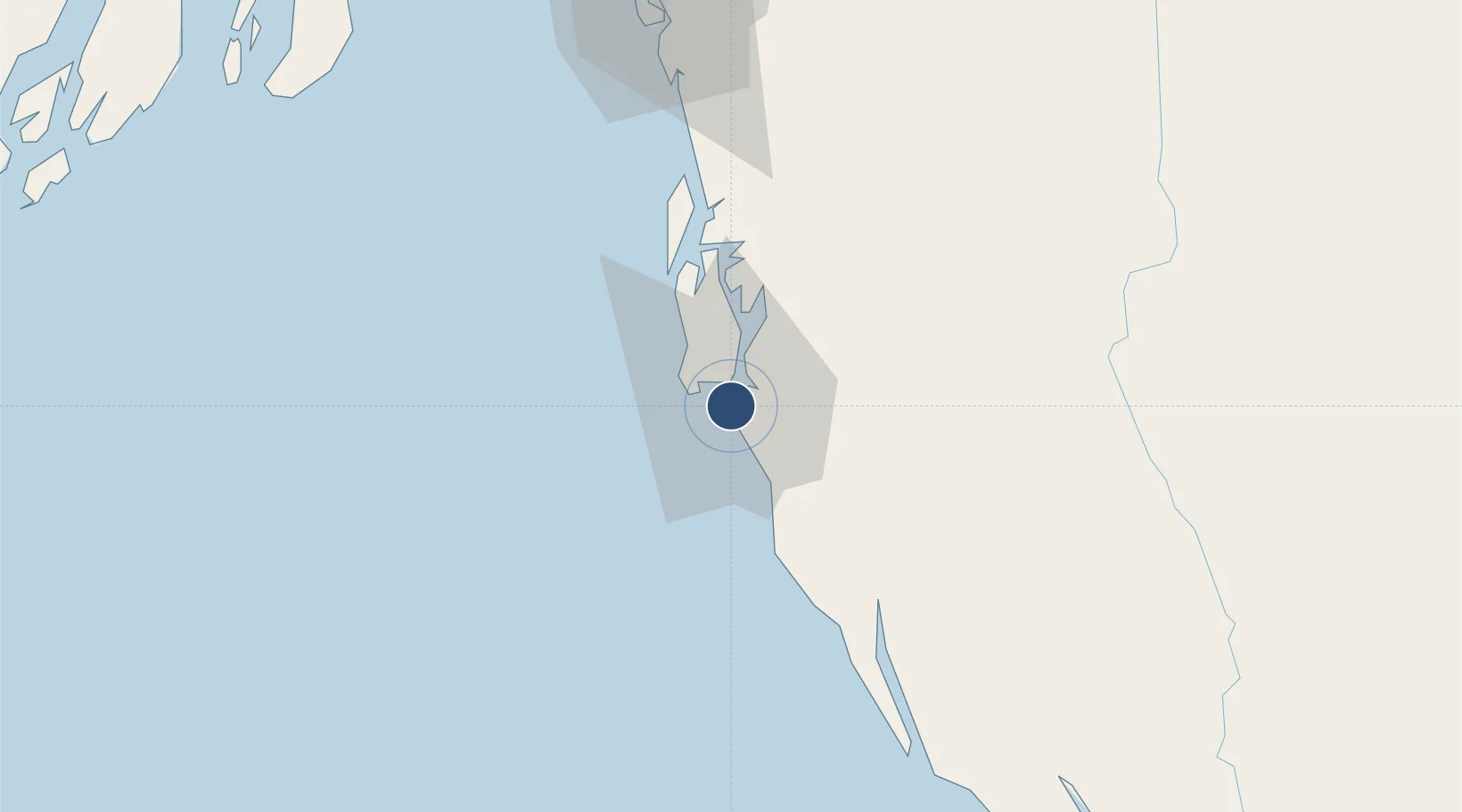
21.4575°, 91.9633°
6,790 ft
Longest runway
1
Runways
12 ft
Elevation
Runway & Layout

Radio Frequencies
TWR
129.5 MHz
Navaids
CB NDB Coxs Bazar 396 kHz
Runways · 1
| Runway | Dimensions | Surface | True heading | Lit |
|---|---|---|---|---|
| 17/35 | 6,790 × 125ft | Asphalt | 169° | — |
Airport Specifications
IATA code
CXB
ICAO code
VGCB
Airport class
Medium airport
Scheduled service
Yes
Runway surface
Asphalt
Served city
Cox's Bazar
Location
Nearby Logistics Neighbours
Airports
- 1Shah Amanat International Airport89 km
- 2Saiha Helipad156 km
- 3Sittwe Airport175 km
- 4Barisal Airport227 km
- 5Lengpui Airport273 km
Cities
- 1Chattogram99 km
- 2Payra Port183 km
- 3Mongla270 km
- 4Narayanganj278 km
- 5Munshiganj278 km
Ports
- 1Chittagong97 km
- 2Sittwe177 km
- 3Mongla268 km
- 4Calcutta393 km
- 5Haldia Port406 km
DatabookThe Record of Consolidated Knowledge
Bangladesh beyond logistics?