Export Processing Zone · Bangladesh

Karnapuli Export Processing Zone Active
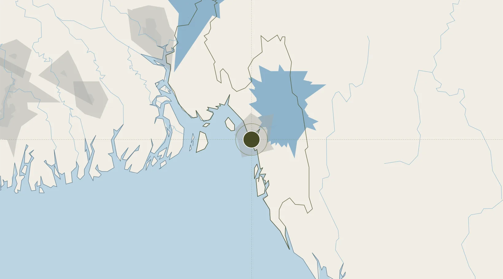
22.2752°, 91.7922°
89 ha
Zone area
5.3 km
Nearest port
3.6 km
Nearest airport

Gateway access

Nearest neighbours — logibook spatial index (haversine) over the source coordinates

Zone profile

Zone type
Export Processing Zone
the World Bank SEZ database
Region
Chittagong
the World Bank SEZ database
Status
Active
the World Bank SEZ database
Established
2006
the World Bank SEZ database
Management
Public agency
the World Bank SEZ database
Operator
BEPZA
the World Bank SEZ database
Regulatory authority
Bangladesh Export Processing Zones Authority (BEPZA)
the World Bank SEZ database
Legal framework
Bangladesh Export Processing Zone Act
the World Bank SEZ database

Location

Location of BGD6
Natural Earth 10m (public domain) · Chittagong · BGD6 · 22.28, 91.79GoogleOSMYandex

Fiscal & incentives

Corporate tax
25%
the World Bank SEZ database
Tax relief
100% exempt
the World Bank SEZ database
Relief duration
3 years
the World Bank SEZ database
VAT
No exemption
the World Bank SEZ database
Import duty (inputs)
100% exempt
the World Bank SEZ database
Import duty (capex)
100% exempt
the World Bank SEZ database
Profit repatriation
100% exempt from repatriation tax on capital and dividends
the World Bank SEZ database
Capital gains
No exemption
the World Bank SEZ database
Withholding tax
100% exempt from dividend tax
the World Bank SEZ database
Min. investment
None
the World Bank SEZ database
Min. export
90%
the World Bank SEZ database
Employment incentive
No exemption
the World Bank SEZ database
Developer incentive
No established framework
the World Bank SEZ database

Nearby Logistics Neighbours

Ports
  1. 1Chittagong5 km
  2. 2Mongla226 km
  3. 3Sittwe264 km
  4. 4Calcutta357 km
  5. 5Haldia Port383 km
Nearest neighbours — logibook spatial index (haversine) over the source coordinates
Airports
  1. 1Shah Amanat International Airport4 km
  2. 2Cox's Bazar Airport93 km
  3. 3Saiha Helipad125 km
  4. 4Barisal Airport164 km
  5. 5Agartala - Maharaja Bir Bikram Airport188 km
Nearest neighbours — logibook spatial index (haversine) over the source coordinates
Cities
  1. 1Chattogram7 km
  2. 2Payra Port162 km
  3. 3Narayanganj195 km
  4. 4Munshiganj195 km
  5. 5Panchashar195 km
Nearest neighbours — logibook spatial index (haversine) over the source coordinates
Trade Zones
  1. 1Chittagong Export Processing Zone2 km
  2. 2Anwara Economic Zone (Gahira)7 km
  3. 3Anowara Economic Zone -28 km
  4. 4Abul Khair Economic Zone8 km
  5. 5Chinese Economic And Industrial Zone (CEIZ)9 km
Nearest neighbours — logibook spatial index (haversine) over the source coordinates
DatabookThe Record of Consolidated Knowledge
Bangladesh beyond logistics?
Browse databook

All Sources

Trade Zonesthe World Bank SEZ database
CC BY 4.0
Portsthe NGA World Port Index
Public domain (US gov)
AirportsOurAirports
Public domain
LocationsUN/LOCODE
UN/LOCODE — free
← Bangladesh trade zones