Economic Zone · Bangladesh

Anwara Economic Zone (Gahira) Active
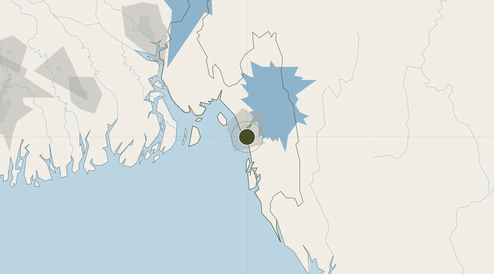
22.2327°, 91.8447°
8 ha
Zone area
9.8 km
Nearest port
3.7 km
Nearest airport

Gateway access

Nearest neighbours — logibook spatial index (haversine) over the source coordinates

Zone profile

Zone type
Economic Zone
the World Bank SEZ database
Specialization
Manufacturing
the World Bank SEZ database
Region
Chittagong
the World Bank SEZ database
Status
Active
the World Bank SEZ database
Established
2013
the World Bank SEZ database
Management
Public agency
the World Bank SEZ database
Operator
BEZA
the World Bank SEZ database
Regulatory authority
Bangladesh Economic Zones Authority (BEZA)
the World Bank SEZ database
Legal framework
Bangladesh Economic Zones Act
the World Bank SEZ database

Location

Location of BGD11
Natural Earth 10m (public domain) · Chittagong · BGD11 · 22.23, 91.84GoogleOSMYandex

Fiscal & incentives

Corporate tax
25%
the World Bank SEZ database
Tax relief
100% exempt
the World Bank SEZ database
Relief duration
2 years
the World Bank SEZ database
VAT
80% exempt from utility consumption tax
the World Bank SEZ database
Import duty (inputs)
100% exempt
the World Bank SEZ database
Import duty (capex)
100% exempt
the World Bank SEZ database
Profit repatriation
100% exempt from repatriation tax on capital and dividends
the World Bank SEZ database
Capital gains
100% exempt from capital gains tax
the World Bank SEZ database
Withholding tax
50% exempt from income tax
the World Bank SEZ database
Min. investment
None
the World Bank SEZ database
Min. export
80%
the World Bank SEZ database
Employment incentive
No exemption
the World Bank SEZ database
Developer incentive
Yes
the World Bank SEZ database

Nearby Logistics Neighbours

Ports
  1. 1Chittagong10 km
  2. 2Mongla232 km
  3. 3Sittwe258 km
  4. 4Calcutta363 km
  5. 5Haldia Port388 km
Nearest neighbours — logibook spatial index (haversine) over the source coordinates
Airports
  1. 1Shah Amanat International Airport4 km
  2. 2Cox's Bazar Airport87 km
  3. 3Saiha Helipad121 km
  4. 4Barisal Airport171 km
  5. 5Agartala - Maharaja Bir Bikram Airport194 km
Nearest neighbours — logibook spatial index (haversine) over the source coordinates
Cities
  1. 1Chattogram13 km
  2. 2Payra Port166 km
  3. 3Narayanganj202 km
  4. 4Munshiganj202 km
  5. 5Panchashar202 km
Nearest neighbours — logibook spatial index (haversine) over the source coordinates
Trade Zones
  1. 1Chinese Economic And Industrial Zone (CEIZ)2 km
  2. 2Anowara Economic Zone -23 km
  3. 3Karnapuli Export Processing Zone7 km
  4. 4Chittagong Export Processing Zone10 km
  5. 5Anowara Economic Zone12 km
Nearest neighbours — logibook spatial index (haversine) over the source coordinates
DatabookThe Record of Consolidated Knowledge
Bangladesh beyond logistics?
Browse databook

All Sources

Trade Zonesthe World Bank SEZ database
CC BY 4.0
Portsthe NGA World Port Index
Public domain (US gov)
AirportsOurAirports
Public domain
LocationsUN/LOCODE
UN/LOCODE — free
← Bangladesh trade zones