Runway & Layout
Airport Specifications
Airport class
Heliport
Scheduled service
Yes
Served city
Saiha
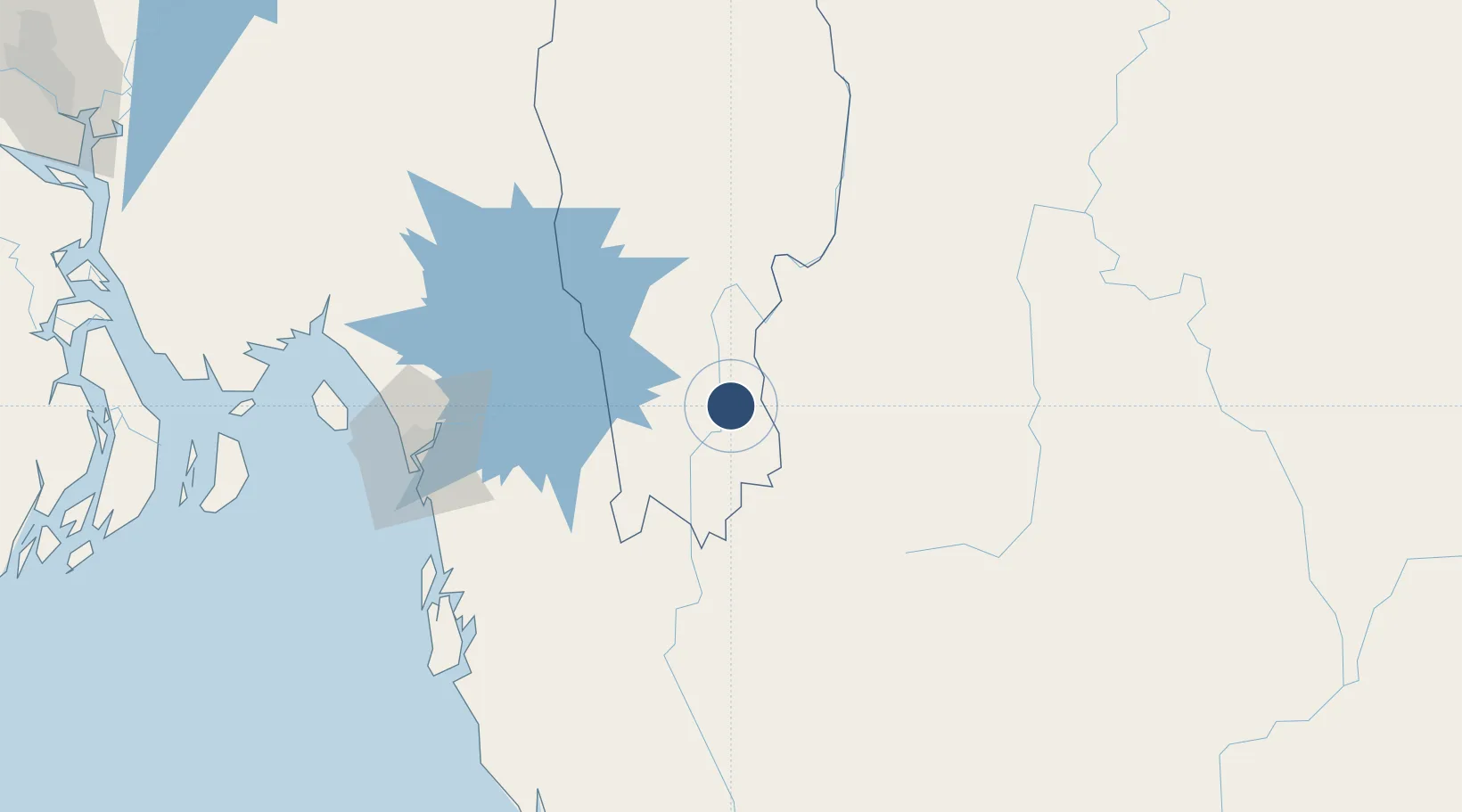
Location
Nearby Logistics Neighbours
Airports
- 1Shah Amanat International Airport124 km
- 2Lengpui Airport155 km
- 3Cox's Bazar Airport156 km
- 4Kailashahar Airport226 km
- 5Agartala - Maharaja Bir Bikram Airport237 km
Cities
- 1Chattogram124 km
- 2Moulvi Bazar254 km
- 3Ashuganj265 km
- 4Narayanganj280 km
- 5Munshiganj280 km
Ports
- 1Chittagong122 km
- 2Sittwe262 km
- 3Mongla348 km
- 4Calcutta478 km
- 5Haldia Port507 km
Trade Zones
- 1Patia Economic Zone107 km
- 2Chinese Economic And Industrial Zone (CEIZ)120 km
- 3Anwara Economic Zone (Gahira)121 km
- 4Anowara Economic Zone -2123 km
- 5Abul Khair Economic Zone124 km
DatabookThe Record of Consolidated Knowledge
India beyond logistics?