UN/LOCODE hub · Australia
AUCHF

Chifley

-33.9667°, 151.2333°
3,205
Population
1
Transport functions

Transport Functions

Multimodal
UN/LOCODE

Hub Profile

Place type
Urban district
GeoNames
Region
New South Wales
GeoNames
Population
3,205
GeoNames
Time zone
Australia/Sydney
GeoNames
Elevation
36 m
GeoNames

Location

Location of AUCHF
Natural Earth 10m (public domain) · New South Wales · AUCHF · -33.97, 151.23GoogleOSMYandex

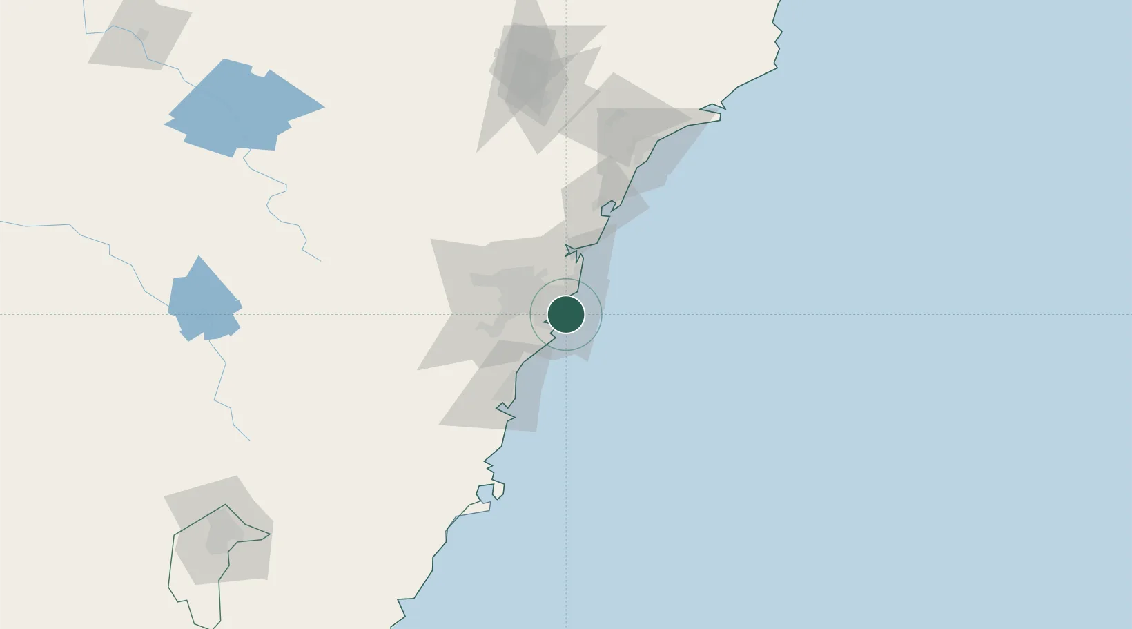
Nearby Logistics Neighbours

Cities
  1. 1Botany Bay2 km
  2. 2Matraville2 km
  3. 3Daceyville6 km
  4. 4Clovelly8 km
  5. 5Brighton-Le-Sands8 km
Nearest neighbours — logibook spatial index (haversine) over the source coordinates
Ports
  1. 1Botany Bay4 km
  2. 2Sydney12 km
  3. 3Port Kembla64 km
  4. 4Newcastle127 km
  5. 5Jervis Bay134 km
Nearest neighbours — logibook spatial index (haversine) over the source coordinates
Airports
  1. 1Sydney Kingsford Smith International Airport6 km
  2. 2Sydney Bankstown Airport23 km
  3. 3Palm Beach Seaplane Base43 km
  4. 4Camden Airport51 km
  5. 5RAAF Base Richmond58 km
Nearest neighbours — logibook spatial index (haversine) over the source coordinates
Trade Zones
  1. 1Latrobe Valley Economic Growth Zone644 km
  2. 2Hicks Bay Area Special Economic Zone2452 km
  3. 3Vanuatu Economic Development Zone2601 km
  4. 4Paga Hill Estate Special Economic Zone2754 km
  5. 5Tulagi Island Special Economic Zone2911 km
Nearest neighbours — logibook spatial index (haversine) over the source coordinates
DatabookThe Record of Consolidated Knowledge
Australia beyond logistics?
Browse databook

All Sources

LocationsUN/LOCODE
UN/LOCODE — free
LocationsGeoNames
CC BY 4.0
Portsthe NGA World Port Index
Public domain (US gov)
AirportsOurAirports
Public domain
Trade Zonesthe World Bank SEZ database
CC BY 4.0
Trade ZonesOpen Zone Map
CC BY
← Australia locations