Medium airport · Zimbabwe

Masvingo International AirportFVMV
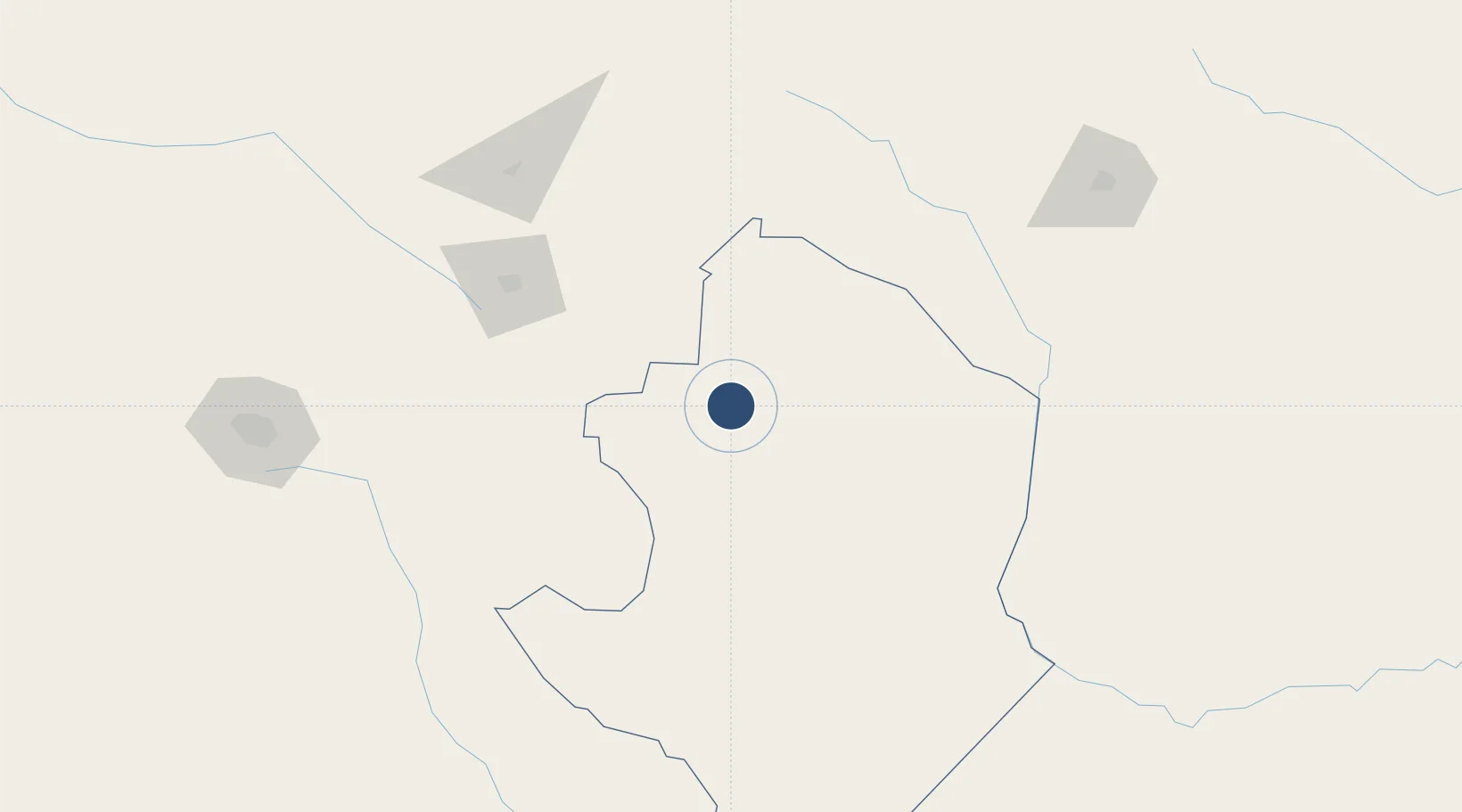
-20.0553°, 30.8591°
5,663 ft
Longest runway
2
Runways
3,595 ft
Elevation

Runway & Layout

Masvingo International Airport runway & taxiway layout
Runway & taxiway layout — OpenStreetMap (ODbL) / OurAirports

Radio Frequencies

TWR
119.6 MHz
APP
119.6 MHz
OurAirports

Navaids

MS NDB Masvingo 317 kHz
VMV VOR-DME Masvingo 115.10 MHz
OurAirports

Runways · 2

RunwayDimensions SurfaceTrue headingLit
17/35 5,663 × 59ft Bitumen 162°
10/28 3,937 × 59ft Grass 088°
OurAirports

Airport Specifications

IATA code
MVZ
OurAirports
ICAO code
FVMV
OurAirports
Airport class
Medium airport
OurAirports
Scheduled service
No
OurAirports
Runway surface
Bitumen
OurAirports
Served city
Masvingo
OurAirports

Location

Location of FVMV
Natural Earth 10m (public domain) · Masvingo · FVMV · -20.06, 30.86GoogleOSMYandex

Nearby Logistics Neighbours

Airports
  1. 1Josiah Tungamirai Air Force Base125 km
  2. 2Buffalo Range Airport130 km
  3. 3Joshua Mqabuko Nkomo International Airport234 km
  4. 4Robert Gabriel Mugabe International Airport237 km
  5. 5Chimoio Airport287 km
Nearest neighbours — logibook spatial index (haversine) over the source coordinates
Cities
  1. 1Zimbabwe24 km
  2. 2Chiredzi139 km
  3. 3Filabusi173 km
  4. 4Chimanimani212 km
  5. 5Rusape215 km
Nearest neighbours — logibook spatial index (haversine) over the source coordinates
Ports
  1. 1Beira416 km
  2. 2Chinde615 km
  3. 3Inhambane635 km
  4. 4Quelimane678 km
  5. 5Maputo679 km
Nearest neighbours — logibook spatial index (haversine) over the source coordinates
DatabookThe Record of Consolidated Knowledge
Zimbabwe beyond logistics?
Browse databook

All Sources

AirportsOurAirports
Public domain
Portsthe NGA World Port Index
Public domain (US gov)
LocationsUN/LOCODE
UN/LOCODE — free
Trade Zonesthe World Bank SEZ database
CC BY 4.0
Trade ZonesOpen Zone Map
CC BY
InfrastructureOpenStreetMap
ODbL 1.0
← Zimbabwe airports