Transport Functions
Port
Road
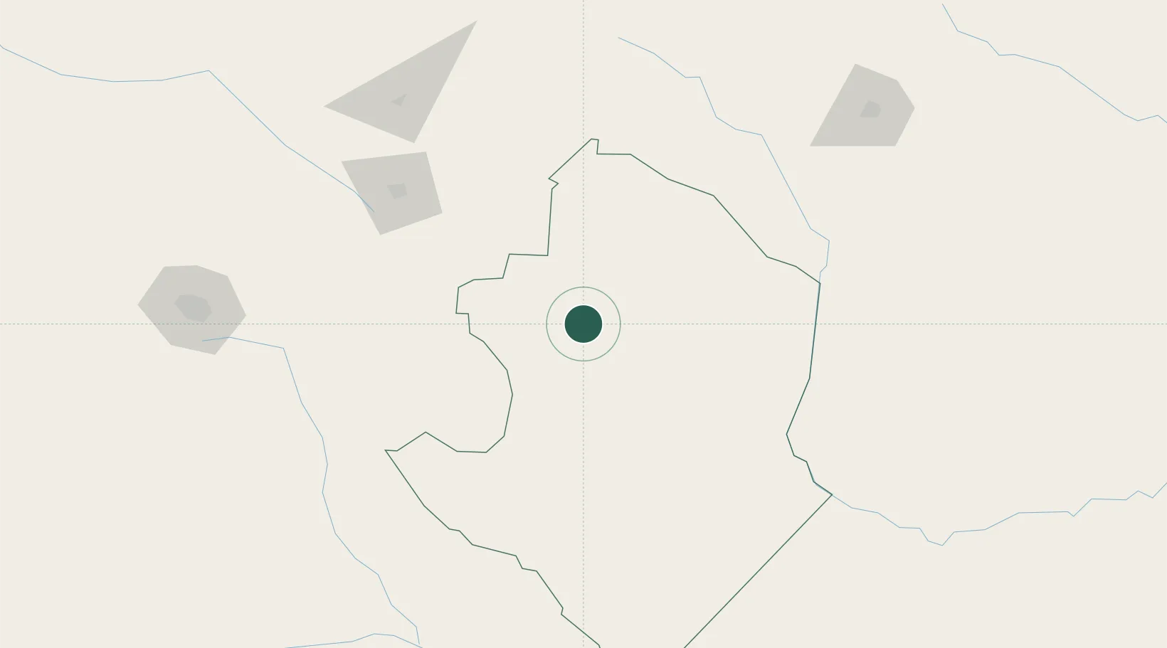
Hub Profile
Place type
Populated place
Region
Masvingo Province
Time zone
Africa/Harare
Elevation
1,112 m
Location
Nearby Logistics Neighbours
Cities
- 1Chiredzi117 km
- 2Filabusi173 km
- 3Chimanimani210 km
- 4Gwanda213 km
- 5Rusape230 km
Airports
DatabookThe Record of Consolidated Knowledge
Zimbabwe beyond logistics?