Transport Functions
Rail
Road
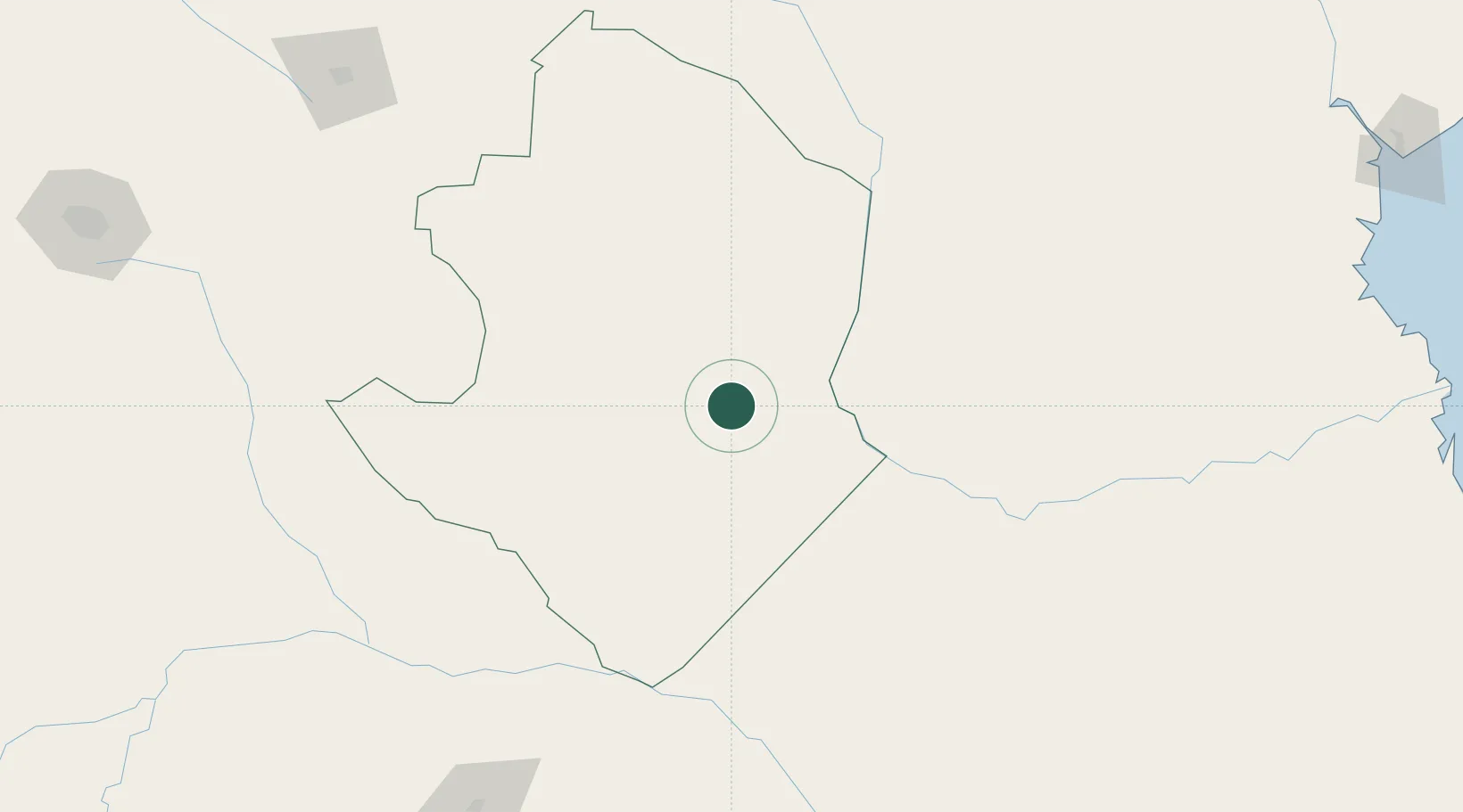
Hub Profile
Place type
Populated place
Region
Masvingo Province
Population
40,100
Time zone
Africa/Harare
Elevation
436 m
Location
Nearby Logistics Neighbours
Cities
- 1Zimbabwe117 km
- 2Chimanimani187 km
- 3Messina224 km
- 4Mutare252 km
- 5Filabusi254 km
Airports
- 1Buffalo Range Airport10 km
- 2Masvingo International Airport139 km
- 3Josiah Tungamirai Air Force Base260 km
- 4Chimoio Airport280 km
- 5Hendrik Van Eck Airport325 km
DatabookThe Record of Consolidated Knowledge
Zimbabwe beyond logistics?