Transport Functions
Multimodal
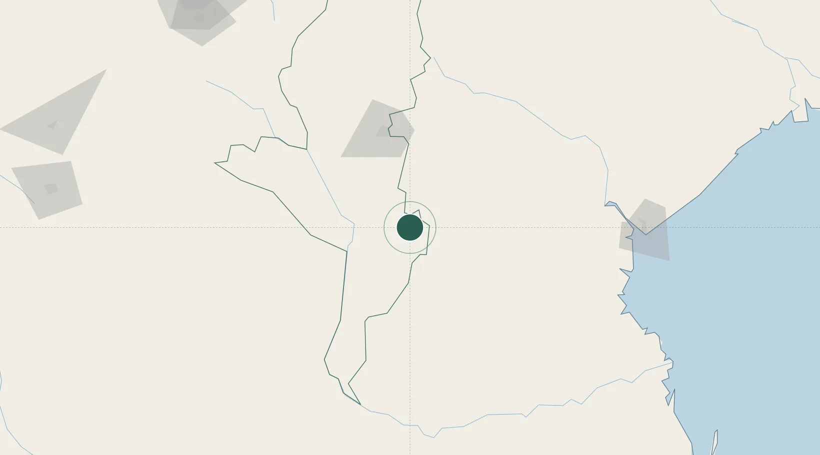
Hub Profile
Place type
Populated place
Region
Manicaland
Population
2,752
Time zone
Africa/Harare
Elevation
1,565 m
Location
Nearby Logistics Neighbours
Ports
- 1Beira206 km
- 2Chinde406 km
- 3Quelimane473 km
- 4Porto Belo511 km
- 5Inhambane527 km
Airports
- 1Chimoio Airport93 km
- 2Buffalo Range Airport190 km
- 3Masvingo International Airport212 km
- 4Beira International Airport214 km
- 5Mutoko Airport273 km
Trade Zones
DatabookThe Record of Consolidated Knowledge
Zimbabwe beyond logistics?