Export Processing Zone · Zimbabwe

Fern Hill Special Economic Zone Under Development
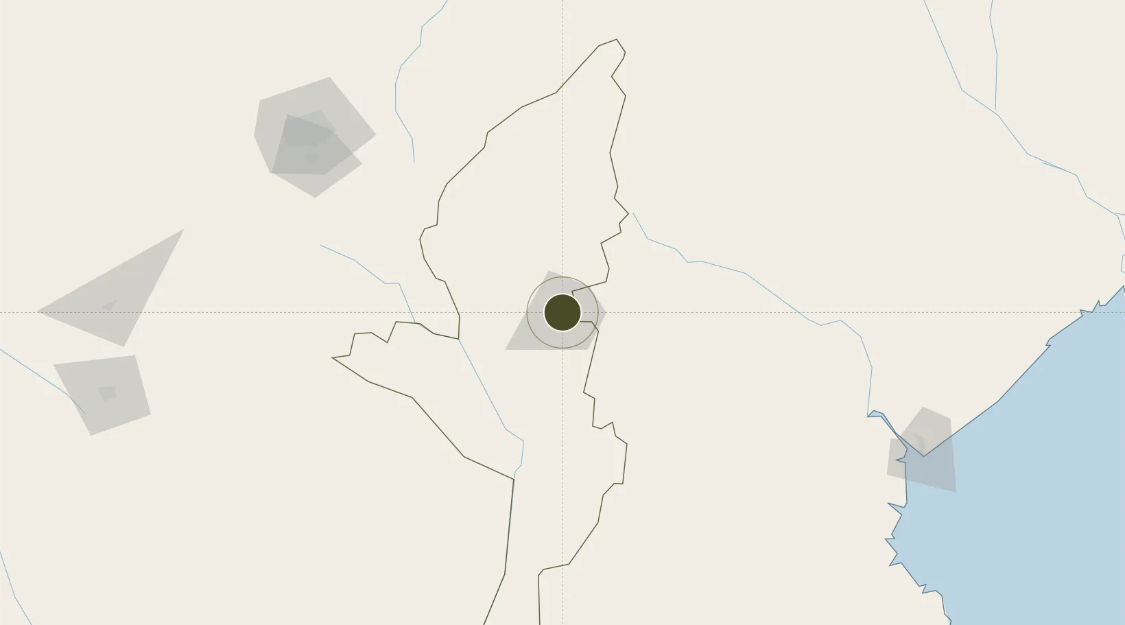
-18.9667°, 32.6323°
87 ha
Zone area
250.2 km
Nearest port
86.2 km
Nearest airport

Gateway access

Nearest neighbours — logibook spatial index (haversine) over the source coordinates

Zone profile

Zone type
Export Processing Zone
Open Zone Map
Region
Manicaland
Open Zone Map
Status
Under Development
Open Zone Map
Management
Public
Open Zone Map
Operator
NSW Government
Open Zone Map
Legal framework
Zimbabwe Investment and Development Agency Act
Open Zone Map

Location

Location of ozm-5220
Natural Earth 10m (public domain) · Manicaland · ozm-5220 · -18.97, 32.63GoogleOSMYandex

Nearby Logistics Neighbours

Ports
  1. 1Beira250 km
  2. 2Chinde410 km
  3. 3Quelimane464 km
  4. 4Porto Belo501 km
  5. 5Pebane613 km
Nearest neighbours — logibook spatial index (haversine) over the source coordinates
Airports
  1. 1Chimoio Airport86 km
  2. 2Mutoko Airport177 km
  3. 3Robert Gabriel Mugabe International Airport199 km
  4. 4Masvingo International Airport222 km
  5. 5Buffalo Range Airport252 km
Nearest neighbours — logibook spatial index (haversine) over the source coordinates
Cities
  1. 1Mutare4 km
  2. 2Rusape73 km
  3. 3Chimanimani96 km
  4. 4Mutoko180 km
  5. 5Marlborough202 km
Nearest neighbours — logibook spatial index (haversine) over the source coordinates
Trade Zones
  1. 1Ecosoft Special Economic Zone180 km
  2. 2Arcadia Lithium Project Special Economic Zone192 km
  3. 3Sunway City Special Economic Zone194 km
  4. 4Workington Tradekings Special Economic Zone212 km
  5. 5Berhard Diamond & Jewellery Park212 km
Nearest neighbours — logibook spatial index (haversine) over the source coordinates
DatabookThe Record of Consolidated Knowledge
Zimbabwe beyond logistics?
Browse databook

All Sources

Trade ZonesOpen Zone Map
CC BY
Portsthe NGA World Port Index
Public domain (US gov)
AirportsOurAirports
Public domain
LocationsUN/LOCODE
UN/LOCODE — free
← Zimbabwe trade zones