UN/LOCODE hub · Zimbabwe
ZWUTA

Mutare

-18.9853°, 32.6671°
224,802
Population
2
Transport functions

Transport Functions

Rail
Airport
UN/LOCODE

Hub Profile

Place type
Regional capital
GeoNames
Region
Manicaland
GeoNames
Population
224,802
GeoNames
Time zone
Africa/Harare
GeoNames
Elevation
1,116 m
GeoNames
Logistics facilities
3
UN/LOCODE

Location

Location of ZWUTA
Natural Earth 10m (public domain) · Manicaland · ZWUTA · -18.99, 32.67GoogleOSMYandex

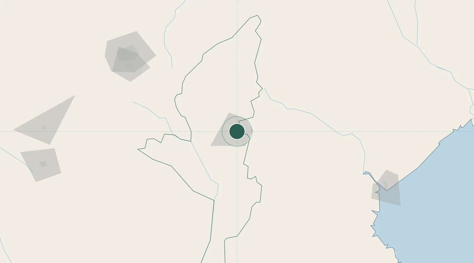
Nearby Logistics Neighbours

Cities
  1. 1Rusape77 km
  2. 2Chimanimani93 km
  3. 3Mutoko183 km
  4. 4Marlborough206 km
  5. 5Zimbabwe232 km
Nearest neighbours — logibook spatial index (haversine) over the source coordinates
Ports
  1. 1Beira246 km
  2. 2Chinde406 km
  3. 3Quelimane461 km
  4. 4Porto Belo498 km
  5. 5Pebane610 km
Nearest neighbours — logibook spatial index (haversine) over the source coordinates
Airports
  1. 1Chimoio Airport82 km
  2. 2Mutoko Airport180 km
  3. 3Robert Gabriel Mugabe International Airport203 km
  4. 4Masvingo International Airport224 km
  5. 5Beira International Airport252 km
Nearest neighbours — logibook spatial index (haversine) over the source coordinates
Trade Zones
  1. 1Fern Hill Special Economic Zone4 km
  2. 2Ecosoft Special Economic Zone184 km
  3. 3Arcadia Lithium Project Special Economic Zone196 km
  4. 4Sunway City Special Economic Zone198 km
  5. 5Workington Tradekings Special Economic Zone216 km
Nearest neighbours — logibook spatial index (haversine) over the source coordinates
DatabookThe Record of Consolidated Knowledge
Zimbabwe beyond logistics?
Browse databook

All Sources

LocationsUN/LOCODE
UN/LOCODE — free
LocationsGeoNames
CC BY 4.0
Portsthe NGA World Port Index
Public domain (US gov)
AirportsOurAirports
Public domain
Trade Zonesthe World Bank SEZ database
CC BY 4.0
Trade ZonesOpen Zone Map
CC BY
← Zimbabwe locations