Medium airport · Mozambique
Chimoio AirportFQCH
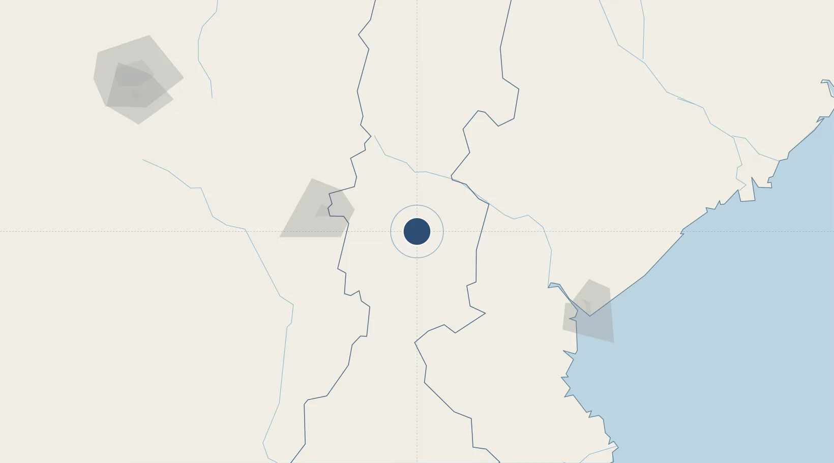
-19.1513°, 33.4290°
7,874 ft
Longest runway
1
Runways
2,287 ft
Elevation
Runway & Layout

Radio Frequencies
AFIS
118.4 MHz
Navaids
CH NDB Chimoio 282 kHz
Runways · 1
| Runway | Dimensions | Surface | True heading | Lit |
|---|---|---|---|---|
| 01/19 | 7,874 × 148ft | Asphalt | 005° | ✓ |
Airport Specifications
IATA code
VPY
ICAO code
FQCH
Airport class
Medium airport
Scheduled service
Yes
Runway surface
Asphalt
Served city
Chimoio
Location
Nearby Logistics Neighbours
Airports
- 1Beira International Airport171 km
- 2Mutoko Airport232 km
- 3Robert Gabriel Mugabe International Airport281 km
- 4Buffalo Range Airport283 km
- 5Masvingo International Airport287 km
Cities
- 1Mutare82 km
- 2Chimanimani93 km
- 3Rusape154 km
- 4Beira166 km
- 5Mutoko233 km
Ports
- 1Beira166 km
- 2Chinde330 km
- 3Quelimane391 km
- 4Porto Belo428 km
- 5Pebane541 km
DatabookThe Record of Consolidated Knowledge
Mozambique beyond logistics?