UN/LOCODE hub · South Africa
ZAZBL

Eikenhof

-26.3333°, 27.9667°
1
Transport functions

Transport Functions

Multimodal
UN/LOCODE

Hub Profile

Place type
Populated place
GeoNames
Region
Gauteng
GeoNames
Time zone
Africa/Johannesburg
GeoNames
Elevation
1,536 m
GeoNames

Location

Location of ZAZBL
Natural Earth 10m (public domain) · Gauteng · ZAZBL · -26.33, 27.97GoogleOSMYandex

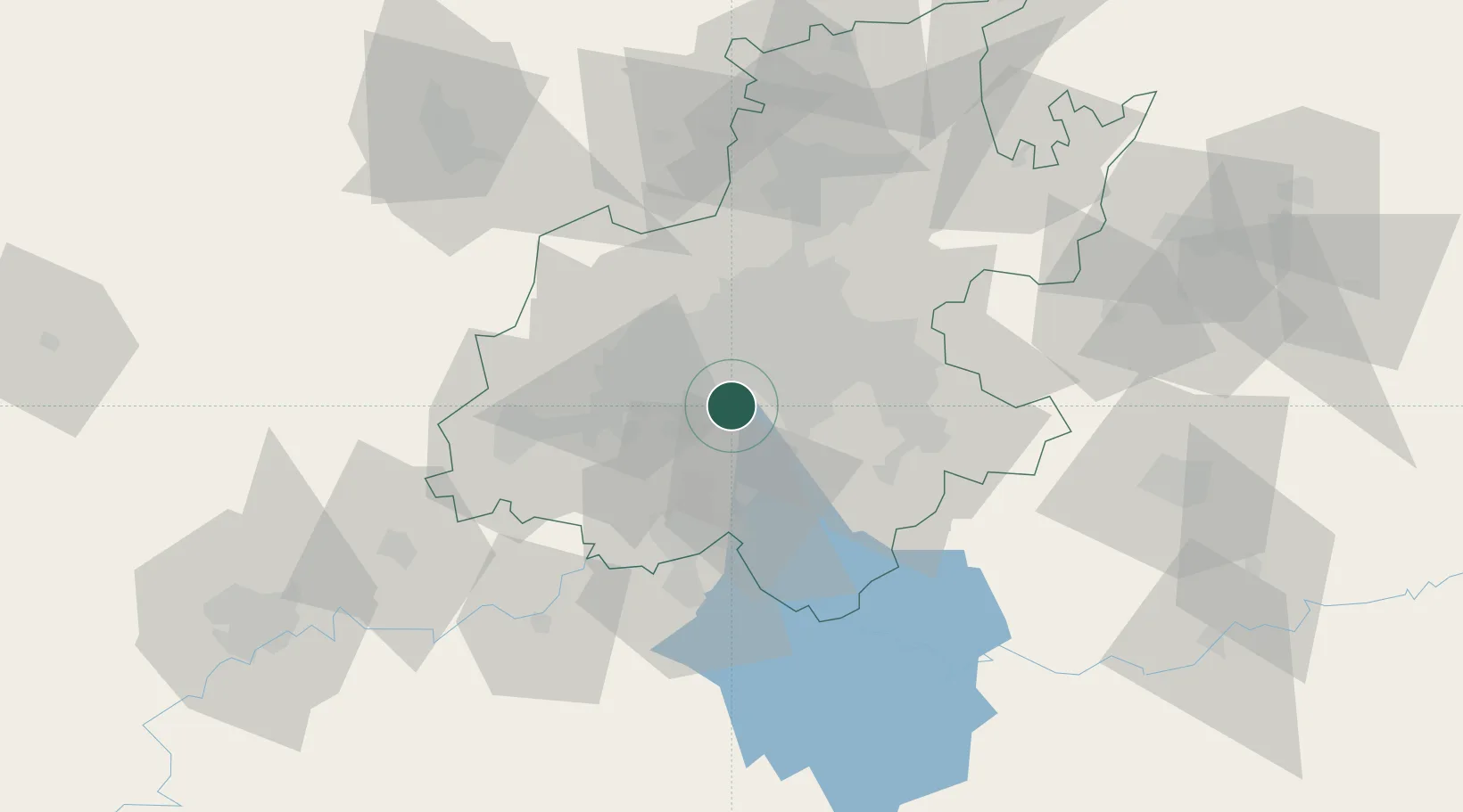
Nearby Logistics Neighbours

Cities
  1. 1Amalgam4 km
  2. 2North Riding7 km
  3. 3Langlaagte9 km
  4. 4Berea12 km
  5. 5Soweto12 km
Nearest neighbours — logibook spatial index (haversine) over the source coordinates
Ports
  1. 1Maputo459 km
  2. 2Richards Bay492 km
  3. 3Durban497 km
  4. 4East London745 km
  5. 5Inhambane795 km
Nearest neighbours — logibook spatial index (haversine) over the source coordinates
Airports
  1. 1Rand Airport21 km
  2. 2Vereeniging Airport26 km
  3. 3O.R. Tambo International Airport35 km
  4. 4Grand Central Airport42 km
  5. 5Lanseria International Airport44 km
Nearest neighbours — logibook spatial index (haversine) over the source coordinates
Trade Zones
  1. 1OR Tambo Industrial Development Zone37 km
  2. 2Vaal Special Economic Zone45 km
  3. 3Tshwane Automotive Industrial Zone76 km
  4. 4Babelegi Industrial Park113 km
  5. 5Bojanala (Platinum Valley) Special Economic Zone137 km
Nearest neighbours — logibook spatial index (haversine) over the source coordinates
DatabookThe Record of Consolidated Knowledge
South Africa beyond logistics?
Browse databook

All Sources

LocationsUN/LOCODE
UN/LOCODE — free
Portsthe NGA World Port Index
Public domain (US gov)
AirportsOurAirports
Public domain
Trade Zonesthe World Bank SEZ database
CC BY 4.0
Trade ZonesOpen Zone Map
CC BY
← South Africa locations