About
Methodology
Sources
Licensing
English
EN
English
TR
Türkçe
DE
Deutsch
FR
Français
ES
Español
IT
Italiano
PT
Português
NL
Nederlands
PL
Polski
RU
Русский
UK
Українська
CS
Čeština
RO
Română
EL
Ελληνικά
BG
Български
AR
العربية
FA
فارسی
UR
اردو
HI
हिन्दी
BN
বাংলা
ID
Bahasa Indonesia
VI
Tiếng Việt
ZH
中文
JA
日本語
KO
한국어
logibook
/
Countries
/
South Africa
/
Locations
/
Belfast
UN/LOCODE hub ·
South Africa
ZA
ZCD
Belfast
-24.9167°, 31.3667°
1
Transport functions
Transport Functions
Multimodal
UN/LOCODE
Hub Profile
Place type
Populated place
GeoNames
Region
Limpopo
GeoNames
Time zone
Africa/Johannesburg
GeoNames
Elevation
382 m
GeoNames
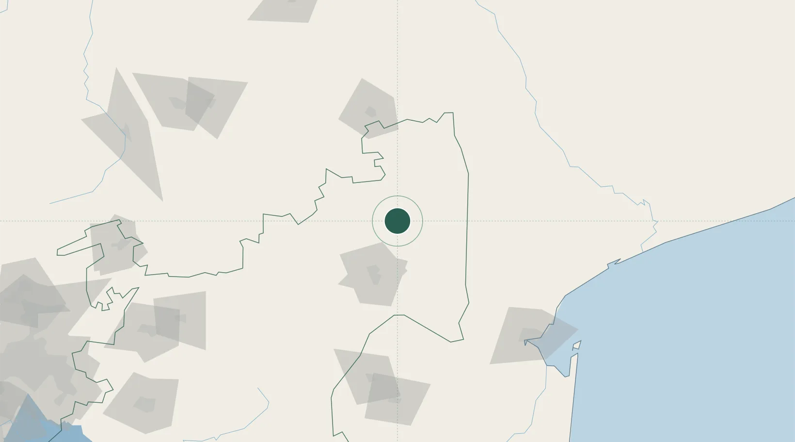
Location
Natural Earth 10m (public domain) · Limpopo · ZAZCD · -24.92, 31.37
Google ↗
OSM ↗
Yandex ↗
Nearby Logistics Neighbours
Cities
1
Kiepersol
38 km
2
Barberton
72 km
3
Letsitele
151 km
4
Motshane
157 km
5
Maputo
163 km
Nearest neighbours — logibook spatial index (haversine) over the source coordinates
Ports
1
Maputo
166 km
2
Inhambane
423 km
3
Richards Bay
439 km
4
Durban
551 km
5
Beira
668 km
Nearest neighbours — logibook spatial index (haversine) over the source coordinates
Airports
1
Malamala Airport
21 km
2
Skukuza Airport
23 km
3
Kruger Mpumalanga International Airport
58 km
4
Eastgate Airport / Air Force Base Hoedspruit
69 km
5
Barberton Airport
97 km
Nearest neighbours — logibook spatial index (haversine) over the source coordinates
Trade Zones
1
Nkomazi Special Economic Zone
83 km
2
Tubatse Special Economic Zone
126 km
3
Beluluane Industrial Free Zone
153 km
4
MCM Industrias Texteis Industrial Free Zone
159 km
5
Mozal Industrial Free Zone
169 km
Nearest neighbours — logibook spatial index (haversine) over the source coordinates
Data
book
The Record of Consolidated Knowledge
South Africa beyond logistics?
Browse databook
→
All Sources
Locations
UN/LOCODE
UN/LOCODE — free
↗
Ports
the NGA World Port Index
Public domain (US gov)
↗
Airports
OurAirports
Public domain
↗
Trade Zones
the World Bank SEZ database
CC BY 4.0
↗
Trade Zones
Open Zone Map
CC BY
↗
← South Africa locations