About
Methodology
Sources
Licensing
English
EN
English
TR
Türkçe
DE
Deutsch
FR
Français
ES
Español
IT
Italiano
PT
Português
NL
Nederlands
PL
Polski
RU
Русский
UK
Українська
CS
Čeština
RO
Română
EL
Ελληνικά
BG
Български
AR
العربية
FA
فارسی
UR
اردو
HI
हिन्दी
BN
বাংলা
ID
Bahasa Indonesia
VI
Tiếng Việt
ZH
中文
JA
日本語
KO
한국어
logibook
/
Countries
/
South Africa
/
Locations
/
Kiepersol
UN/LOCODE hub ·
South Africa
ZA
ZCV
Kiepersol
-25.0667°, 31.0333°
1
Transport functions
Transport Functions
Multimodal
UN/LOCODE
Hub Profile
Place type
Populated place
GeoNames
Region
Mpumalanga
GeoNames
Time zone
Africa/Johannesburg
GeoNames
Elevation
835 m
GeoNames
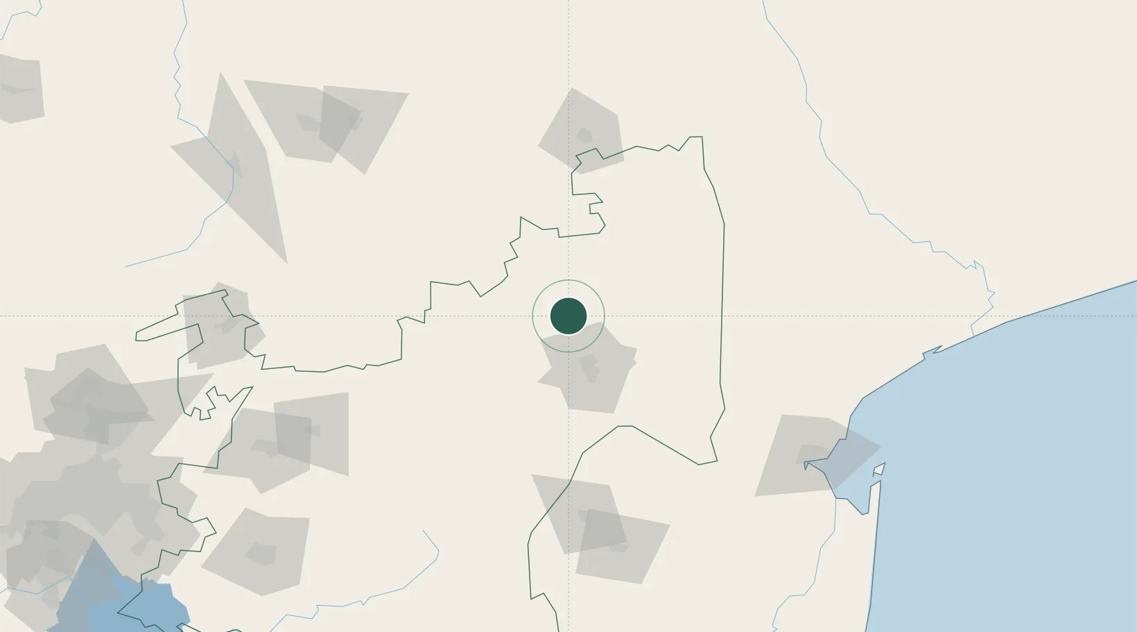
Location
Natural Earth 10m (public domain) · Mpumalanga · ZAZCV · -25.07, 31.03
Google ↗
OSM ↗
Yandex ↗
Nearby Logistics Neighbours
Cities
1
Belfast
38 km
2
Barberton
44 km
3
Motshane
139 km
4
Letsitele
146 km
5
Ezulwini
149 km
Nearest neighbours — logibook spatial index (haversine) over the source coordinates
Ports
1
Maputo
182 km
2
Richards Bay
429 km
3
Inhambane
460 km
4
Durban
534 km
5
Beira
701 km
Nearest neighbours — logibook spatial index (haversine) over the source coordinates
Airports
1
Kruger Mpumalanga International Airport
36 km
2
Skukuza Airport
57 km
3
Malamala Airport
59 km
4
Barberton Airport
73 km
5
Eastgate Airport / Air Force Base Hoedspruit
78 km
Nearest neighbours — logibook spatial index (haversine) over the source coordinates
Trade Zones
1
Tubatse Special Economic Zone
96 km
2
Nkomazi Special Economic Zone
101 km
3
Royal Science & Technology IT Park
164 km
4
Royal Science & Technology Biotech Park
164 km
5
Beluluane Industrial Free Zone
167 km
Nearest neighbours — logibook spatial index (haversine) over the source coordinates
Data
book
The Record of Consolidated Knowledge
South Africa beyond logistics?
Browse databook
→
All Sources
Locations
UN/LOCODE
UN/LOCODE — free
↗
Ports
the NGA World Port Index
Public domain (US gov)
↗
Airports
OurAirports
Public domain
↗
Trade Zones
the World Bank SEZ database
CC BY 4.0
↗
Trade Zones
Open Zone Map
CC BY
↗
← South Africa locations