Free Trade Zone · South Africa

Nkomazi Special Economic Zone Active

-25.4502°, 31.9386°
155 ha
Zone area
83.3 km
Nearest port
64.8 km
Nearest airport

Gateway access

Nearest neighbours — logibook spatial index (haversine) over the source coordinates

Zone profile

Zone type
Free Trade Zone
Open Zone Map
Region
Mpumalanga
Open Zone Map
Status
Active
Open Zone Map
Management
Public
Open Zone Map
Operator
Mpumalanga Economic Growth Agency
Open Zone Map
Legal framework
Designation No. 41632 on the Nkomazi Special Economic Zone
Open Zone Map

Location

Location of ozm-4165
Natural Earth 10m (public domain) · Mpumalanga · ozm-4165 · -25.45, 31.94GoogleOSMYandex

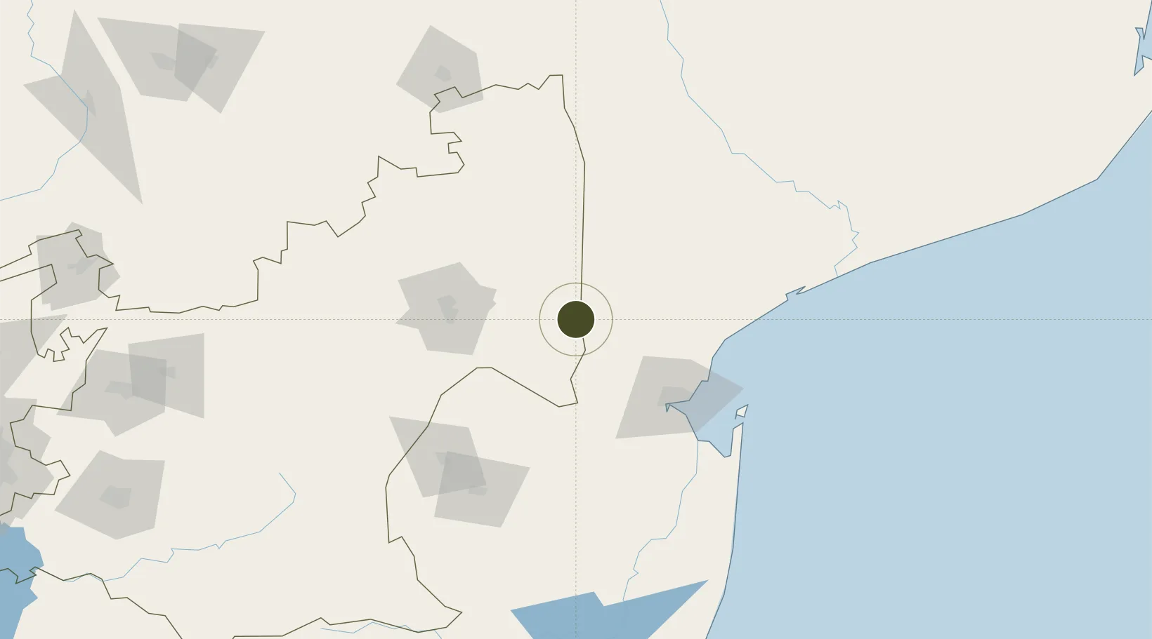
Nearby Logistics Neighbours

Ports
  1. 1Maputo83 km
  2. 2Richards Bay374 km
  3. 3Inhambane389 km
  4. 4Durban499 km
  5. 5Beira692 km
Nearest neighbours — logibook spatial index (haversine) over the source coordinates
Airports
  1. 1Skukuza Airport65 km
  2. 2Malamala Airport81 km
  3. 3Maputo Airport82 km
  4. 4Kruger Mpumalanga International Airport84 km
  5. 5Barberton Airport101 km
Nearest neighbours — logibook spatial index (haversine) over the source coordinates
Cities
  1. 1Maputo81 km
  2. 2Belfast83 km
  3. 3Barberton96 km
  4. 4Kiepersol101 km
  5. 5Motshane126 km
Nearest neighbours — logibook spatial index (haversine) over the source coordinates
Trade Zones
  1. 1Beluluane Industrial Free Zone70 km
  2. 2MCM Industrias Texteis Industrial Free Zone79 km
  3. 3Mozal Industrial Free Zone87 km
  4. 4Moztex Industrial Free Zone87 km
  5. 5Kenmare Industrial Free Zone88 km
Nearest neighbours — logibook spatial index (haversine) over the source coordinates
DatabookThe Record of Consolidated Knowledge
South Africa beyond logistics?
Browse databook

All Sources

Trade ZonesOpen Zone Map
CC BY
Portsthe NGA World Port Index
Public domain (US gov)
AirportsOurAirports
Public domain
LocationsUN/LOCODE
UN/LOCODE — free
← South Africa trade zones