Transport Functions
Multimodal
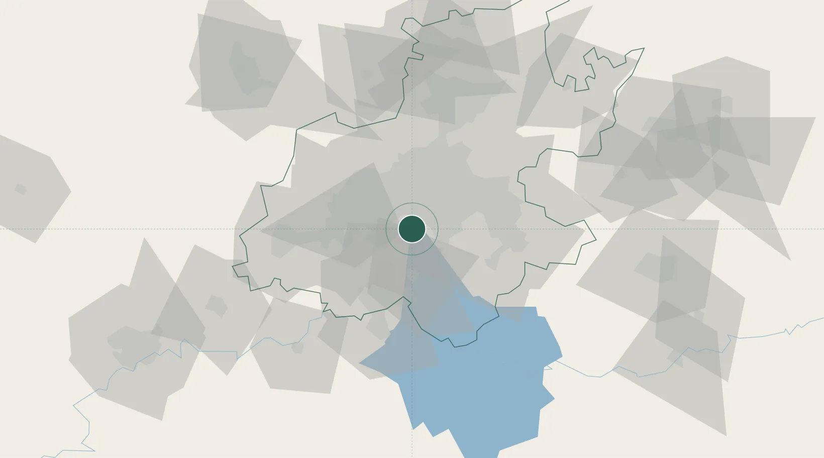
Hub Profile
Region
GT
Location
Nearby Logistics Neighbours
Cities
- 1North Riding3 km
- 2Eikenhof4 km
- 3Langlaagte5 km
- 4Berea10 km
- 5Rosettenville12 km
Ports
- 1Maputo456 km
- 2Richards Bay488 km
- 3Durban493 km
- 4East London743 km
- 5Inhambane792 km
Airports
- 1Rand Airport19 km
- 2Vereeniging Airport24 km
- 3O.R. Tambo International Airport34 km
- 4Grand Central Airport43 km
- 5Lanseria International Airport46 km
Trade Zones
DatabookThe Record of Consolidated Knowledge
South Africa beyond logistics?