UN/LOCODE hub · South Africa
ZAZAW

Crown Mines

-26.2167°, 27.9667°
1
Transport functions

Transport Functions

Multimodal
UN/LOCODE

Hub Profile

Region
GT
GeoNames

Location

Location of ZAZAW
Natural Earth 10m (public domain) · GT · ZAZAW · -26.22, 27.97GoogleOSMYandex

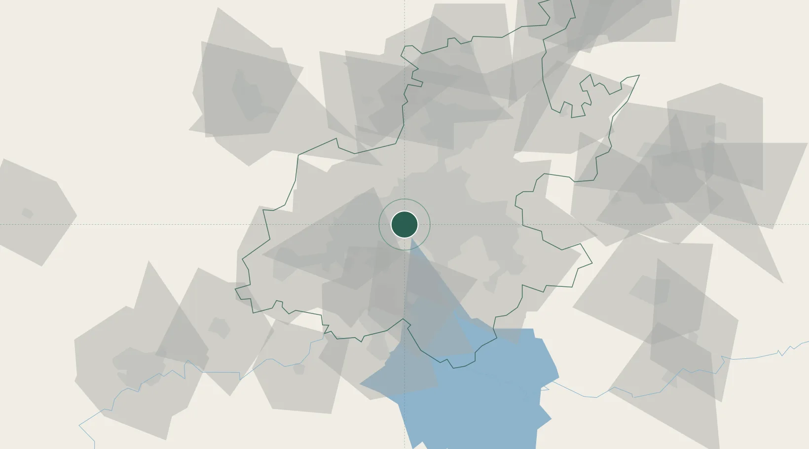
Nearby Logistics Neighbours

Cities
  1. 1Newlands6 km
  2. 2Maraisburg7 km
  3. 3Ophirton7 km
  4. 4Florida8 km
  5. 5New Centre9 km
Nearest neighbours — logibook spatial index (haversine) over the source coordinates
Ports
  1. 1Maputo458 km
  2. 2Richards Bay499 km
  3. 3Durban507 km
  4. 4East London758 km
  5. 5Inhambane791 km
Nearest neighbours — logibook spatial index (haversine) over the source coordinates
Airports
  1. 1Rand Airport19 km
  2. 2O.R. Tambo International Airport29 km
  3. 3Grand Central Airport31 km
  4. 4Lanseria International Airport31 km
  5. 5Vereeniging Airport39 km
Nearest neighbours — logibook spatial index (haversine) over the source coordinates
Trade Zones
  1. 1OR Tambo Industrial Development Zone31 km
  2. 2Vaal Special Economic Zone58 km
  3. 3Tshwane Automotive Industrial Zone65 km
  4. 4Babelegi Industrial Park101 km
  5. 5Bojanala (Platinum Valley) Special Economic Zone126 km
Nearest neighbours — logibook spatial index (haversine) over the source coordinates
DatabookThe Record of Consolidated Knowledge
South Africa beyond logistics?
Browse databook

All Sources

LocationsUN/LOCODE
UN/LOCODE — free
Portsthe NGA World Port Index
Public domain (US gov)
AirportsOurAirports
Public domain
Trade Zonesthe World Bank SEZ database
CC BY 4.0
Trade ZonesOpen Zone Map
CC BY
← South Africa locations