Transport Functions
Multimodal
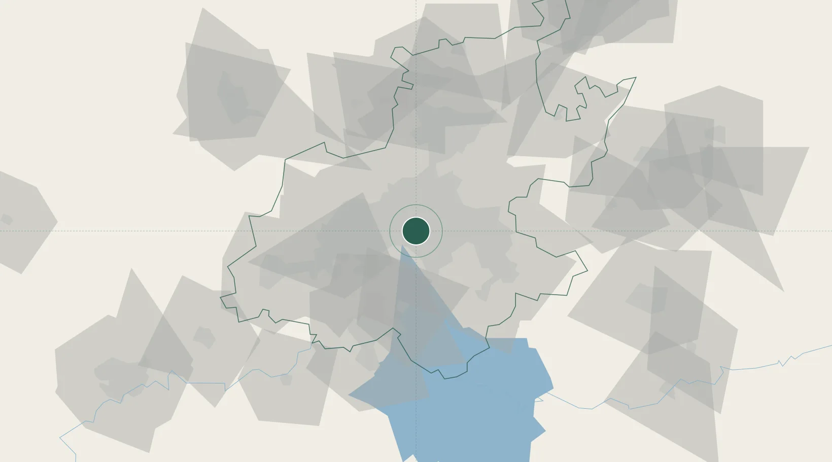
Hub Profile
Region
GP
Location
Nearby Logistics Neighbours
Cities
- 1New Centre3 km
- 2Denver3 km
- 3Malvern East4 km
- 4Kensington4 km
- 5Ophirton4 km
Ports
- 1Maputo448 km
- 2Richards Bay491 km
- 3Durban501 km
- 4East London758 km
- 5Inhambane782 km
Airports
- 1Rand Airport9 km
- 2O.R. Tambo International Airport20 km
- 3Grand Central Airport27 km
- 4Lanseria International Airport34 km
- 5Vereeniging Airport40 km
Trade Zones
DatabookThe Record of Consolidated Knowledge
South Africa beyond logistics?