UN/LOCODE hub · South Africa
ZAZGA

New Centre

-26.2000°, 28.0500°
1
Transport functions

Transport Functions

Multimodal
UN/LOCODE

Hub Profile

Region
GT
GeoNames

Location

Location of ZAZGA
Natural Earth 10m (public domain) · GT · ZAZGA · -26.20, 28.05GoogleOSMYandex

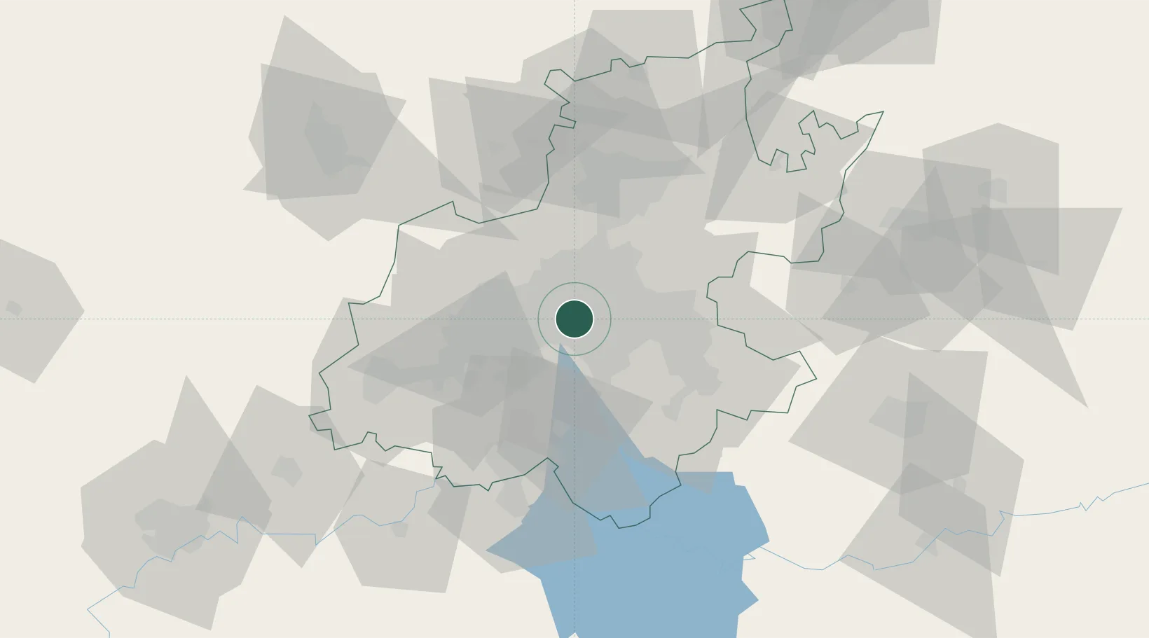
Nearby Logistics Neighbours

Cities
  1. 1Ophirton2 km
  2. 2Kaserne3 km
  3. 3Malvern East3 km
  4. 4Jeppestown4 km
  5. 5Braamfontein4 km
Nearest neighbours — logibook spatial index (haversine) over the source coordinates
Ports
  1. 1Maputo450 km
  2. 2Richards Bay494 km
  3. 3Durban504 km
  4. 4East London760 km
  5. 5Inhambane783 km
Nearest neighbours — logibook spatial index (haversine) over the source coordinates
Airports
  1. 1Rand Airport11 km
  2. 2O.R. Tambo International Airport21 km
  3. 3Grand Central Airport25 km
  4. 4Lanseria International Airport32 km
  5. 5Vereeniging Airport42 km
Nearest neighbours — logibook spatial index (haversine) over the source coordinates
Trade Zones
  1. 1OR Tambo Industrial Development Zone23 km
  2. 2Tshwane Automotive Industrial Zone59 km
  3. 3Vaal Special Economic Zone61 km
  4. 4Babelegi Industrial Park97 km
  5. 5Bojanala (Platinum Valley) Special Economic Zone130 km
Nearest neighbours — logibook spatial index (haversine) over the source coordinates
DatabookThe Record of Consolidated Knowledge
South Africa beyond logistics?
Browse databook

All Sources

LocationsUN/LOCODE
UN/LOCODE — free
Portsthe NGA World Port Index
Public domain (US gov)
AirportsOurAirports
Public domain
Trade Zonesthe World Bank SEZ database
CC BY 4.0
Trade ZonesOpen Zone Map
CC BY
← South Africa locations