UN/LOCODE hub · South Africa
ZAZDO

Malvern East

-26.1833°, 28.0667°
1
Transport functions

Transport Functions

Multimodal
UN/LOCODE

Hub Profile

Region
GP
GeoNames

Location

Location of ZAZDO
Natural Earth 10m (public domain) · GP · ZAZDO · -26.18, 28.07GoogleOSMYandex

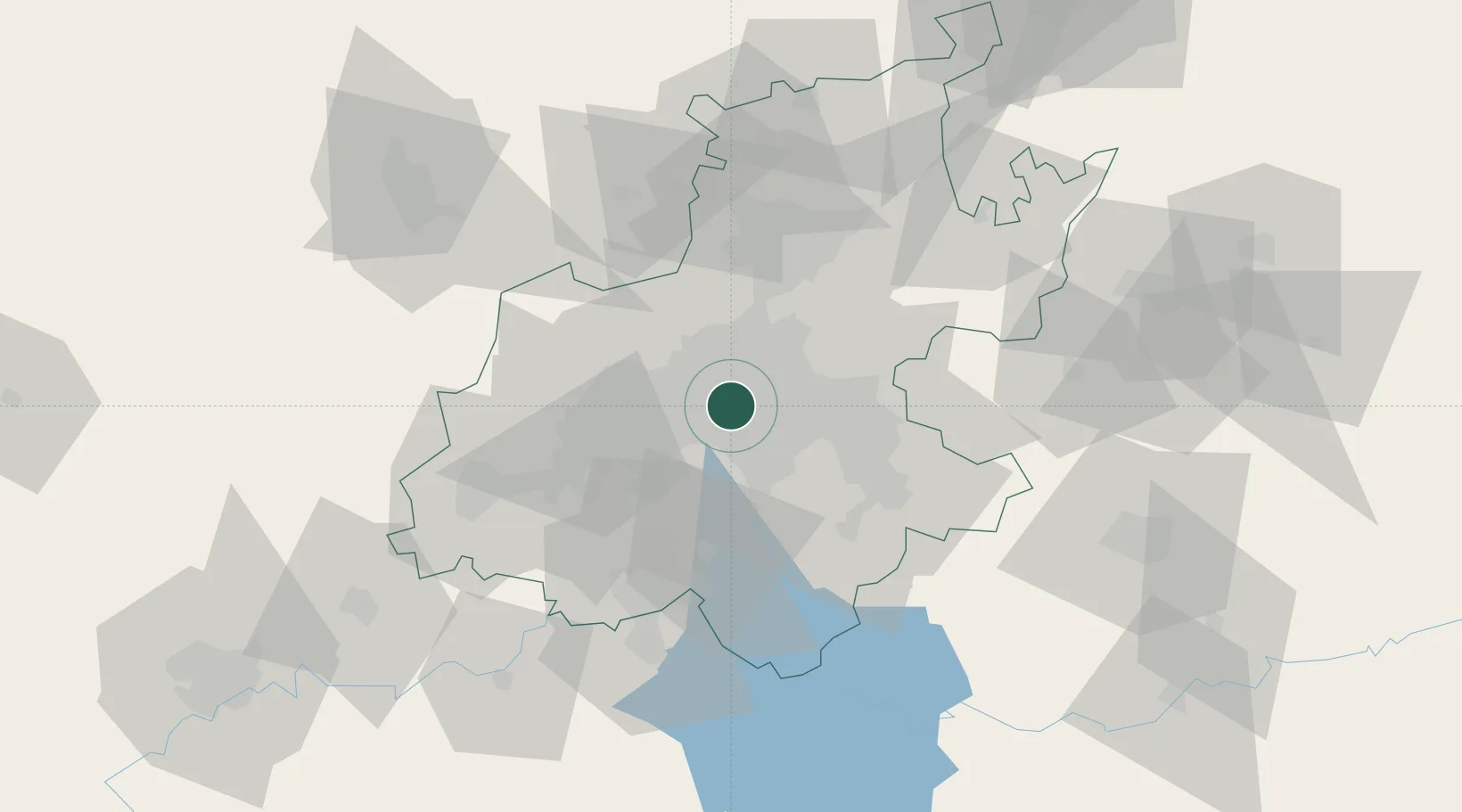
Nearby Logistics Neighbours

Cities
  1. 1Jeppestown2 km
  2. 2Braamfontein2 km
  3. 3New Centre3 km
  4. 4Orange Grove3 km
  5. 5Kaserne4 km
Nearest neighbours — logibook spatial index (haversine) over the source coordinates
Ports
  1. 1Maputo448 km
  2. 2Richards Bay493 km
  3. 3Durban504 km
  4. 4East London762 km
  5. 5Inhambane780 km
Nearest neighbours — logibook spatial index (haversine) over the source coordinates
Airports
  1. 1Rand Airport11 km
  2. 2O.R. Tambo International Airport19 km
  3. 3Grand Central Airport23 km
  4. 4Lanseria International Airport31 km
  5. 5Waterkloof Air Force Base42 km
Nearest neighbours — logibook spatial index (haversine) over the source coordinates
Trade Zones
  1. 1OR Tambo Industrial Development Zone21 km
  2. 2Tshwane Automotive Industrial Zone57 km
  3. 3Vaal Special Economic Zone63 km
  4. 4Babelegi Industrial Park95 km
  5. 5Bojanala (Platinum Valley) Special Economic Zone129 km
Nearest neighbours — logibook spatial index (haversine) over the source coordinates
DatabookThe Record of Consolidated Knowledge
South Africa beyond logistics?
Browse databook

All Sources

LocationsUN/LOCODE
UN/LOCODE — free
Portsthe NGA World Port Index
Public domain (US gov)
AirportsOurAirports
Public domain
Trade Zonesthe World Bank SEZ database
CC BY 4.0
Trade ZonesOpen Zone Map
CC BY
← South Africa locations