Transport Functions
Multimodal
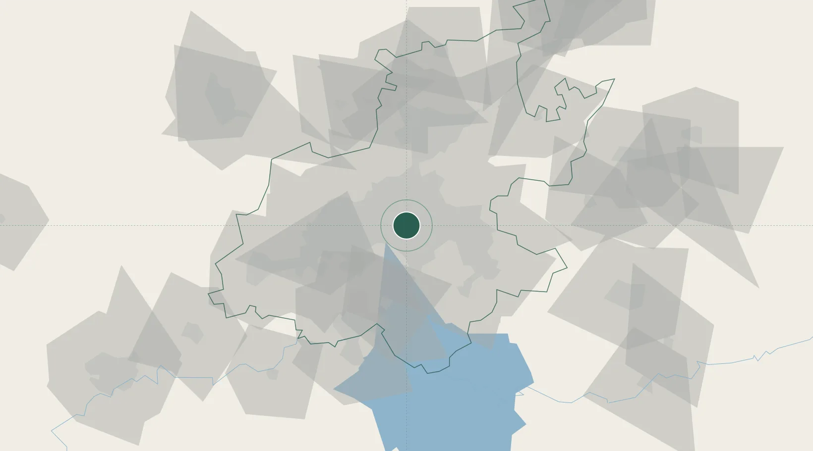
Hub Profile
Place type
Urban district
Region
Gauteng
Time zone
Africa/Johannesburg
Elevation
1,708 m
Location
Nearby Logistics Neighbours
Cities
- 1Heriotdale/Johannesburg2 km
- 2Denver2 km
- 3Benrose3 km
- 4Jeppestown3 km
- 5Kaserne4 km
Ports
- 1Maputo445 km
- 2Richards Bay490 km
- 3Durban501 km
- 4East London760 km
- 5Inhambane778 km
Airports
Trade Zones
DatabookThe Record of Consolidated Knowledge
South Africa beyond logistics?