Transport Functions
Multimodal
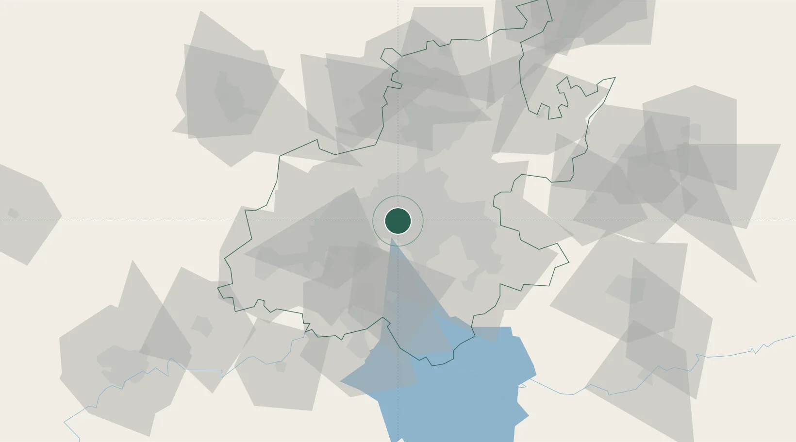
Hub Profile
Place type
Urban district
Region
Gauteng
Time zone
Africa/Johannesburg
Elevation
1,706 m
Location
Nearby Logistics Neighbours
Cities
- 1New Centre2 km
- 2Parktown4 km
- 3Kaserne4 km
- 4Malvern East4 km
- 5Braamfontein5 km
Ports
- 1Maputo451 km
- 2Richards Bay495 km
- 3Durban505 km
- 4East London760 km
- 5Inhambane784 km
Airports
- 1Rand Airport13 km
- 2O.R. Tambo International Airport22 km
- 3Grand Central Airport26 km
- 4Lanseria International Airport31 km
- 5Vereeniging Airport41 km
Trade Zones
DatabookThe Record of Consolidated Knowledge
South Africa beyond logistics?