UN/LOCODE hub · South Africa
ZAZFY

Jeppestown

-26.1833°, 28.0833°
1
Transport functions

Transport Functions

Multimodal
UN/LOCODE

Hub Profile

Region
GT
GeoNames

Location

Location of ZAZFY
Natural Earth 10m (public domain) · GT · ZAZFY · -26.18, 28.08GoogleOSMYandex

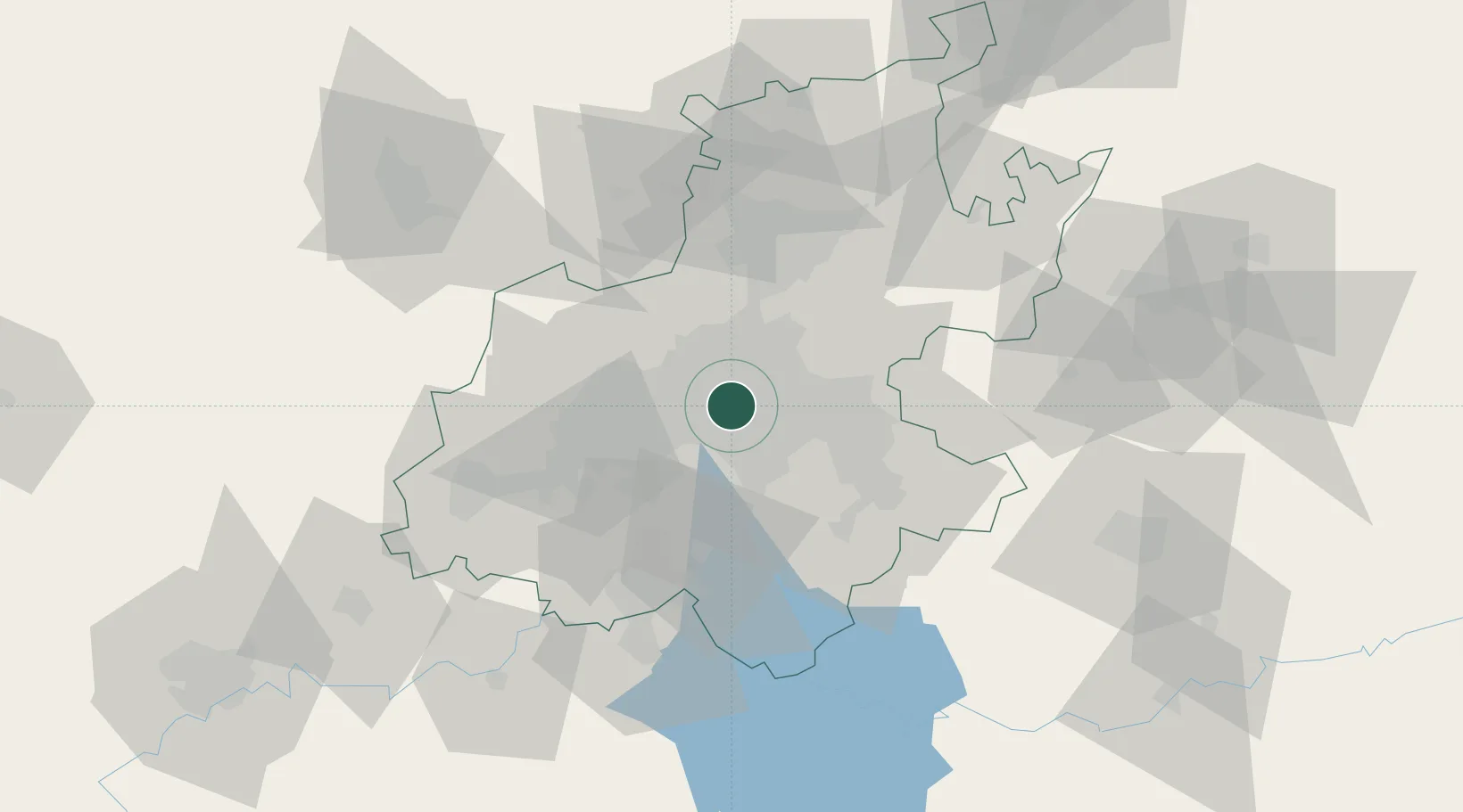
Nearby Logistics Neighbours

Cities
  1. 1Malvern East2 km
  2. 2Orange Grove2 km
  3. 3Kensington3 km
  4. 4Braamfontein3 km
  5. 5Benrose3 km
Nearest neighbours — logibook spatial index (haversine) over the source coordinates
Ports
  1. 1Maputo446 km
  2. 2Richards Bay492 km
  3. 3Durban503 km
  4. 4East London762 km
  5. 5Inhambane779 km
Nearest neighbours — logibook spatial index (haversine) over the source coordinates
Airports
  1. 1Rand Airport9 km
  2. 2O.R. Tambo International Airport17 km
  3. 3Grand Central Airport23 km
  4. 4Lanseria International Airport31 km
  5. 5Waterkloof Air Force Base42 km
Nearest neighbours — logibook spatial index (haversine) over the source coordinates
Trade Zones
  1. 1OR Tambo Industrial Development Zone19 km
  2. 2Tshwane Automotive Industrial Zone56 km
  3. 3Vaal Special Economic Zone63 km
  4. 4Babelegi Industrial Park94 km
  5. 5Bojanala (Platinum Valley) Special Economic Zone130 km
Nearest neighbours — logibook spatial index (haversine) over the source coordinates
DatabookThe Record of Consolidated Knowledge
South Africa beyond logistics?
Browse databook

All Sources

LocationsUN/LOCODE
UN/LOCODE — free
Portsthe NGA World Port Index
Public domain (US gov)
AirportsOurAirports
Public domain
Trade Zonesthe World Bank SEZ database
CC BY 4.0
Trade ZonesOpen Zone Map
CC BY
← South Africa locations