UN/LOCODE hub · South Africa
ZAHDL

Heriotdale/Johannesburg

-26.2000°, 28.1167°
2
Transport functions

Transport Functions

Rail
Road
UN/LOCODE

Location

Location of ZAHDL
Natural Earth 10m (public domain) · Gauteng · ZAHDL · -26.20, 28.12GoogleOSMYandex

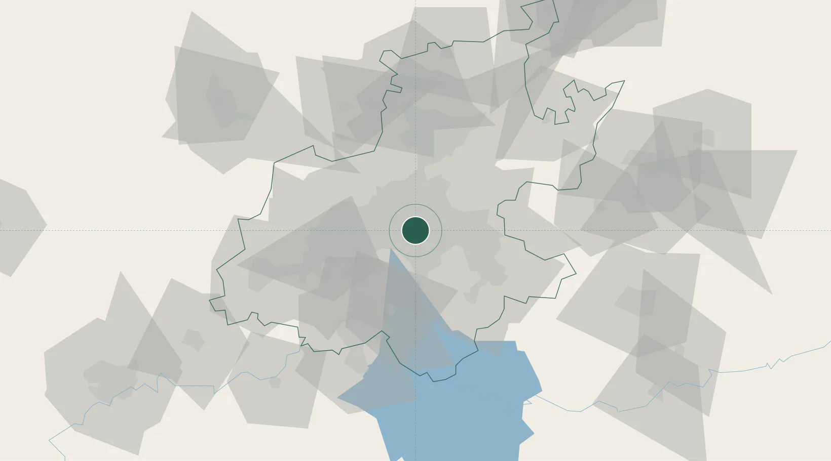
Nearby Logistics Neighbours

Cities
  1. 1Kensington2 km
  2. 2Benrose2 km
  3. 3Denver3 km
  4. 4Jeppestown4 km
  5. 5Rosherville4 km
Nearest neighbours — logibook spatial index (haversine) over the source coordinates
Ports
  1. 1Maputo443 km
  2. 2Richards Bay488 km
  3. 3Durban500 km
  4. 4East London760 km
  5. 5Inhambane776 km
Nearest neighbours — logibook spatial index (haversine) over the source coordinates
Airports
  1. 1Rand Airport6 km
  2. 2O.R. Tambo International Airport15 km
  3. 3Grand Central Airport24 km
  4. 4Lanseria International Airport35 km
  5. 5Waterkloof Air Force Base43 km
Nearest neighbours — logibook spatial index (haversine) over the source coordinates
Trade Zones
  1. 1OR Tambo Industrial Development Zone17 km
  2. 2Tshwane Automotive Industrial Zone56 km
  3. 3Vaal Special Economic Zone63 km
  4. 4Babelegi Industrial Park95 km
  5. 5Bojanala (Platinum Valley) Special Economic Zone134 km
Nearest neighbours — logibook spatial index (haversine) over the source coordinates
DatabookThe Record of Consolidated Knowledge
South Africa beyond logistics?
Browse databook

All Sources

LocationsUN/LOCODE
UN/LOCODE — free
Portsthe NGA World Port Index
Public domain (US gov)
AirportsOurAirports
Public domain
Trade Zonesthe World Bank SEZ database
CC BY 4.0
Trade ZonesOpen Zone Map
CC BY
← South Africa locations