Transport Functions
Rail
Road
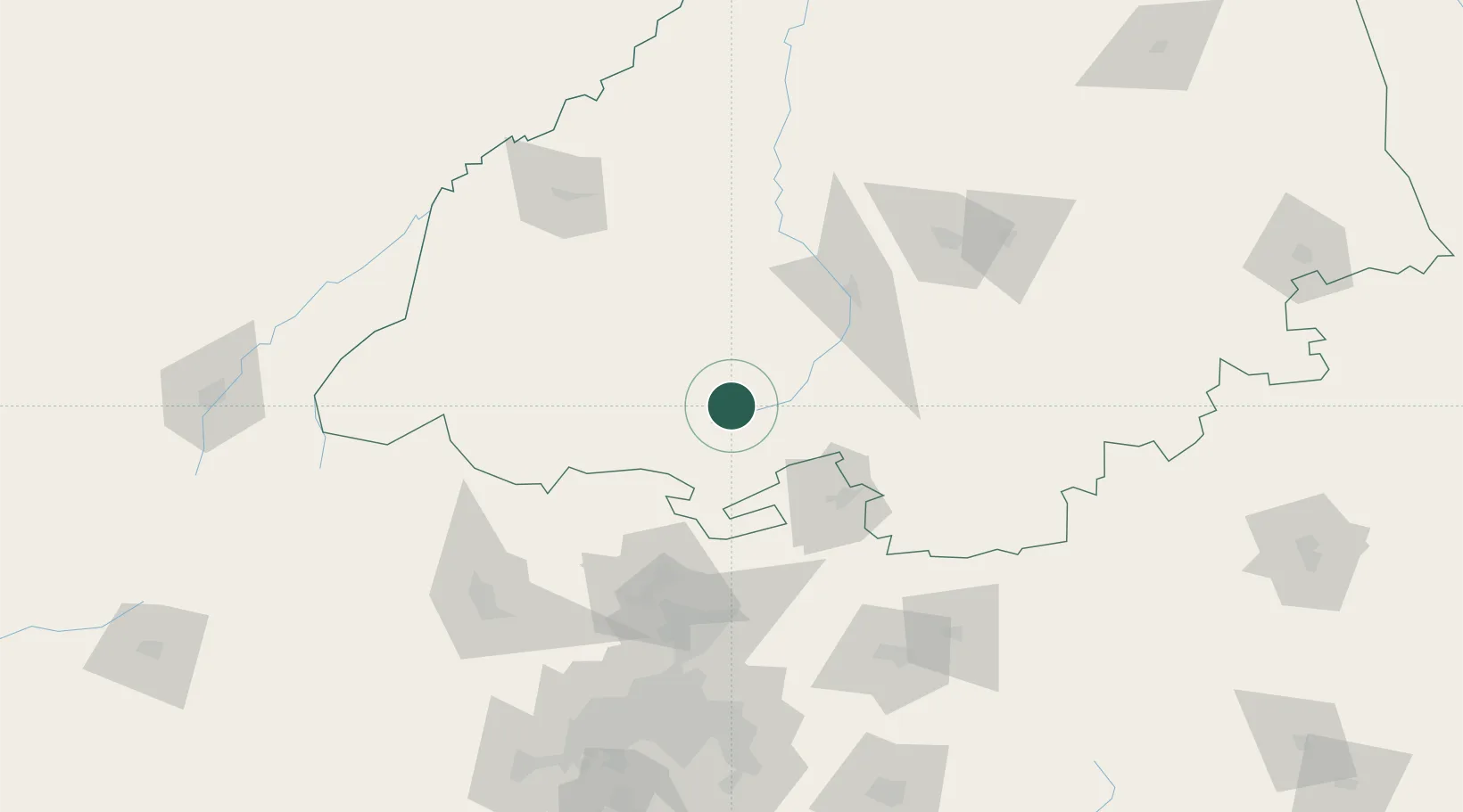
Location
Nearby Logistics Neighbours
Cities
- 1Mookgophong37 km
- 2Naboomspruit37 km
- 3Potgietersrus85 km
- 4Marble Hall96 km
- 5Sunningdale98 km
Ports
- 1Maputo440 km
- 2Richards Bay588 km
- 3Durban634 km
- 4Inhambane714 km
- 5Beira854 km
Airports
- 1Wonderboom Airport109 km
- 2Swartkop Air Force Base128 km
- 3Waterkloof Air Force Base129 km
- 4Pietersburg Municipal Airport138 km
- 5Polokwane International Airport142 km
Trade Zones
DatabookThe Record of Consolidated Knowledge
South Africa beyond logistics?