Transport Functions
Multimodal
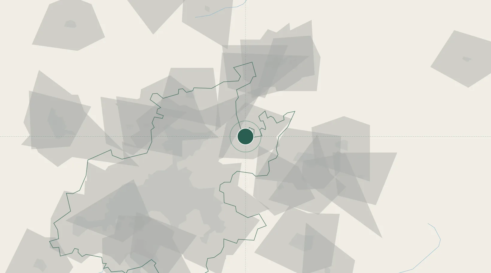
Hub Profile
Place type
Populated place
Region
Gauteng
Time zone
Africa/Johannesburg
Elevation
1,507 m
Location
Nearby Logistics Neighbours
Cities
- 1Bronkhorstspruit13 km
- 2Cullinan19 km
- 3Waltloo37 km
- 4Menlo Park41 km
- 5Brummeria42 km
Ports
- 1Maputo386 km
- 2Richards Bay482 km
- 3Durban519 km
- 4Inhambane705 km
- 5East London819 km
Airports
- 1Wonderboom Airport48 km
- 2Waterkloof Air Force Base50 km
- 3Swartkop Air Force Base55 km
- 4Grand Central Airport64 km
- 5O.R. Tambo International Airport67 km
Trade Zones
DatabookThe Record of Consolidated Knowledge
South Africa beyond logistics?