UN/LOCODE hub · South Africa
ZACNA
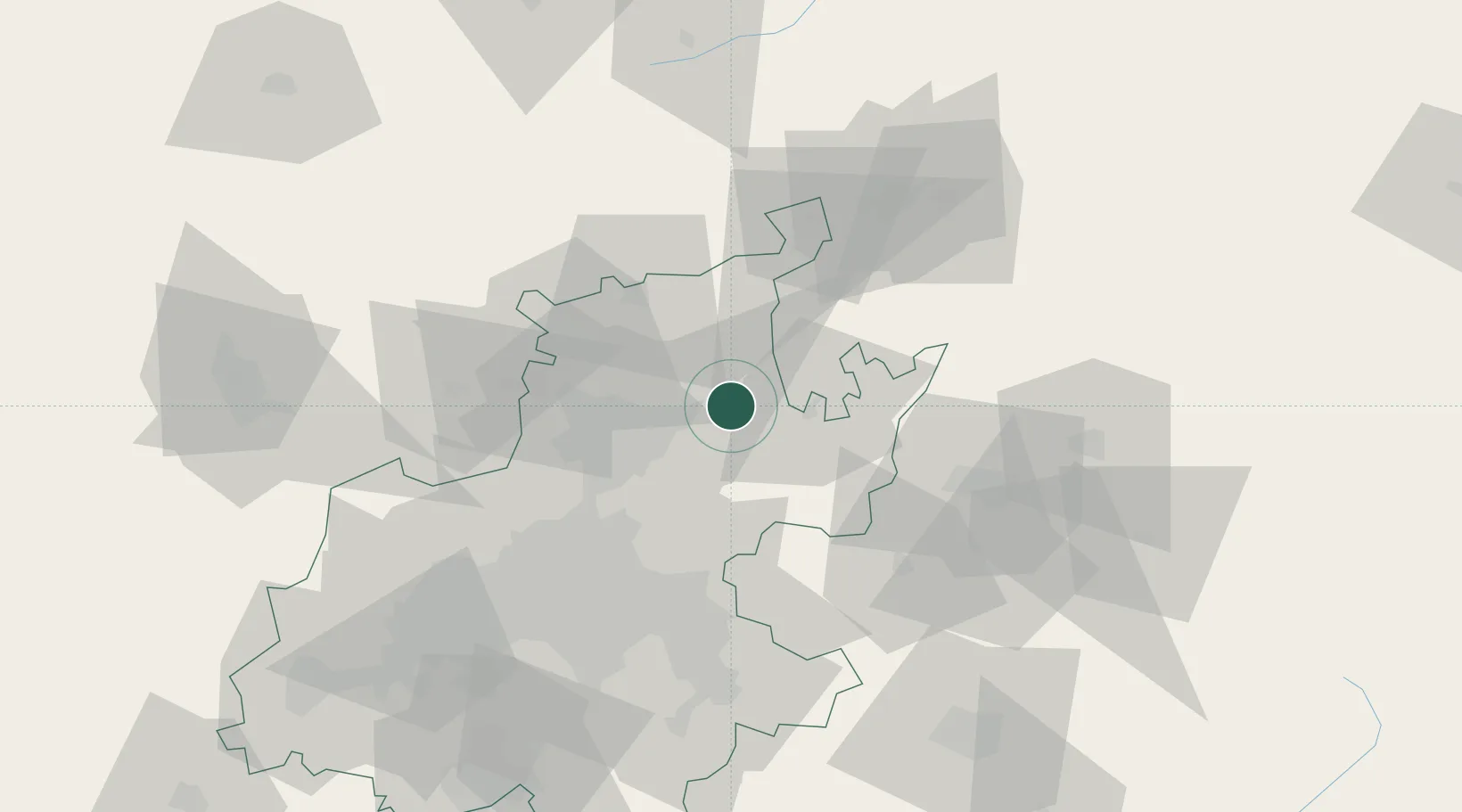
Cullinan
-25.6667°, 28.5167°
34,087
Population
2
Transport functions
Transport Functions
Rail
Road
Hub Profile
Place type
Populated place
Region
Gauteng
Population
34,087
Time zone
Africa/Johannesburg
Elevation
1,449 m
Location
Nearby Logistics Neighbours
Cities
- 1Ekandustria19 km
- 2Waltloo19 km
- 3Menlo Park24 km
- 4Brummeria25 km
- 5Lynnwood27 km
Ports
- 1Maputo405 km
- 2Richards Bay498 km
- 3Durban530 km
- 4Inhambane722 km
- 5East London821 km
Airports
- 1Wonderboom Airport29 km
- 2Waterkloof Air Force Base35 km
- 3Swartkop Air Force Base39 km
- 4Grand Central Airport52 km
- 5O.R. Tambo International Airport59 km
Trade Zones
DatabookThe Record of Consolidated Knowledge
South Africa beyond logistics?