Transport Functions
Multimodal
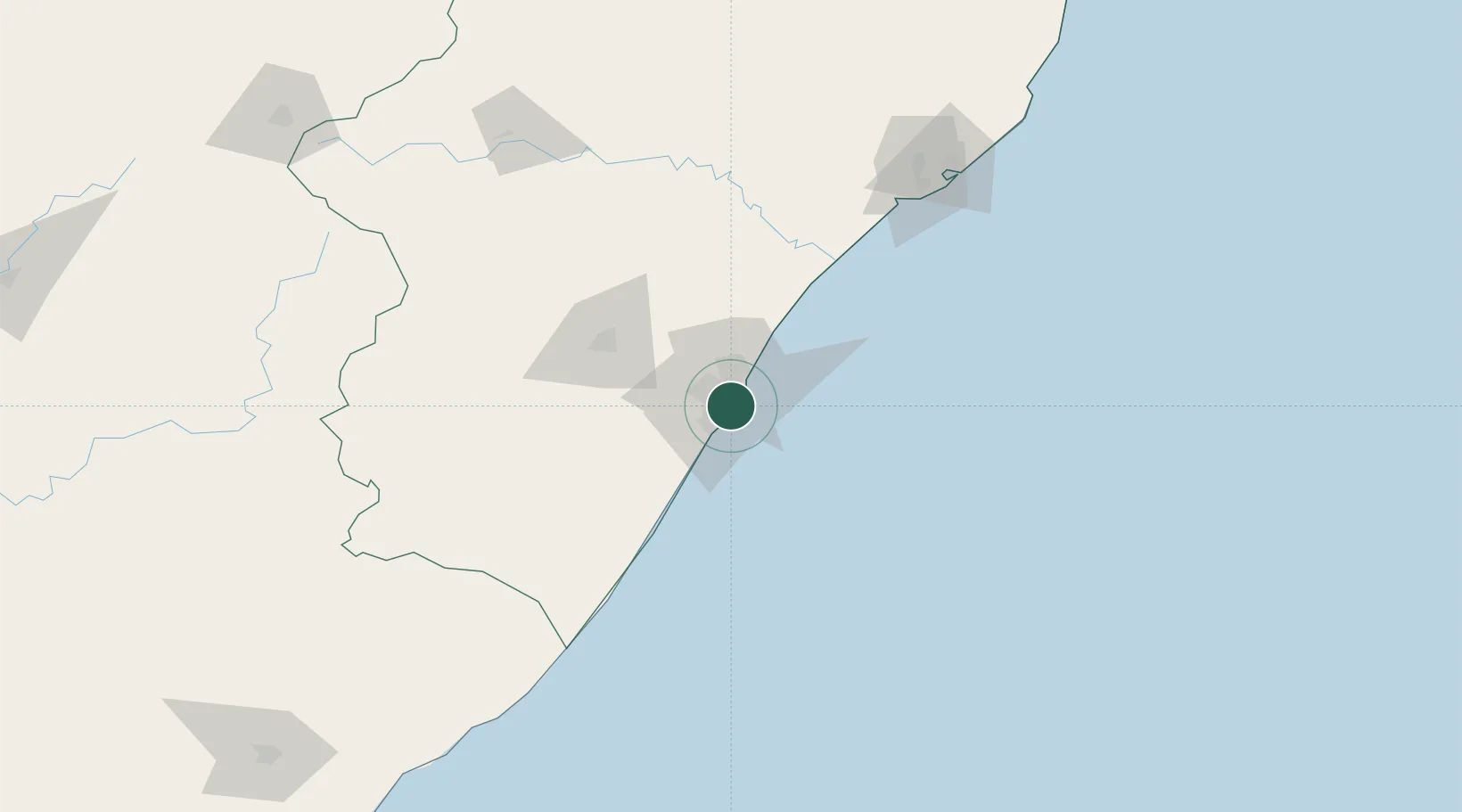
Hub Profile
Place type
Urban district
Region
KwaZulu-Natal
Time zone
Africa/Johannesburg
Elevation
13 m
Location
Nearby Logistics Neighbours
Cities
- 1Durban1 km
- 2Jacobs2 km
- 3Umbilo2 km
- 4Bayhead4 km
- 5Merebank East5 km
Ports
- 1Durban10 km
- 2Richards Bay164 km
- 3East London452 km
- 4Maputo466 km
- 5Port Elizabeth675 km
Airports
- 1Virginia Airport18 km
- 2King Shaka International Airport36 km
- 3Pietermaritzburg Airport64 km
- 4Margate Airport121 km
- 5Richards Bay Airport169 km
Trade Zones
- 1Dube TradePort34 km
- 2Dube AgriZone36 km
- 3Dube TradeZone37 km
- 4Durban Aerotropolis40 km
- 5Isithebe Industrial Park100 km
DatabookThe Record of Consolidated Knowledge
South Africa beyond logistics?