Economic Revitalization Project · Egypt

Farafra City Investment Zone Under Development
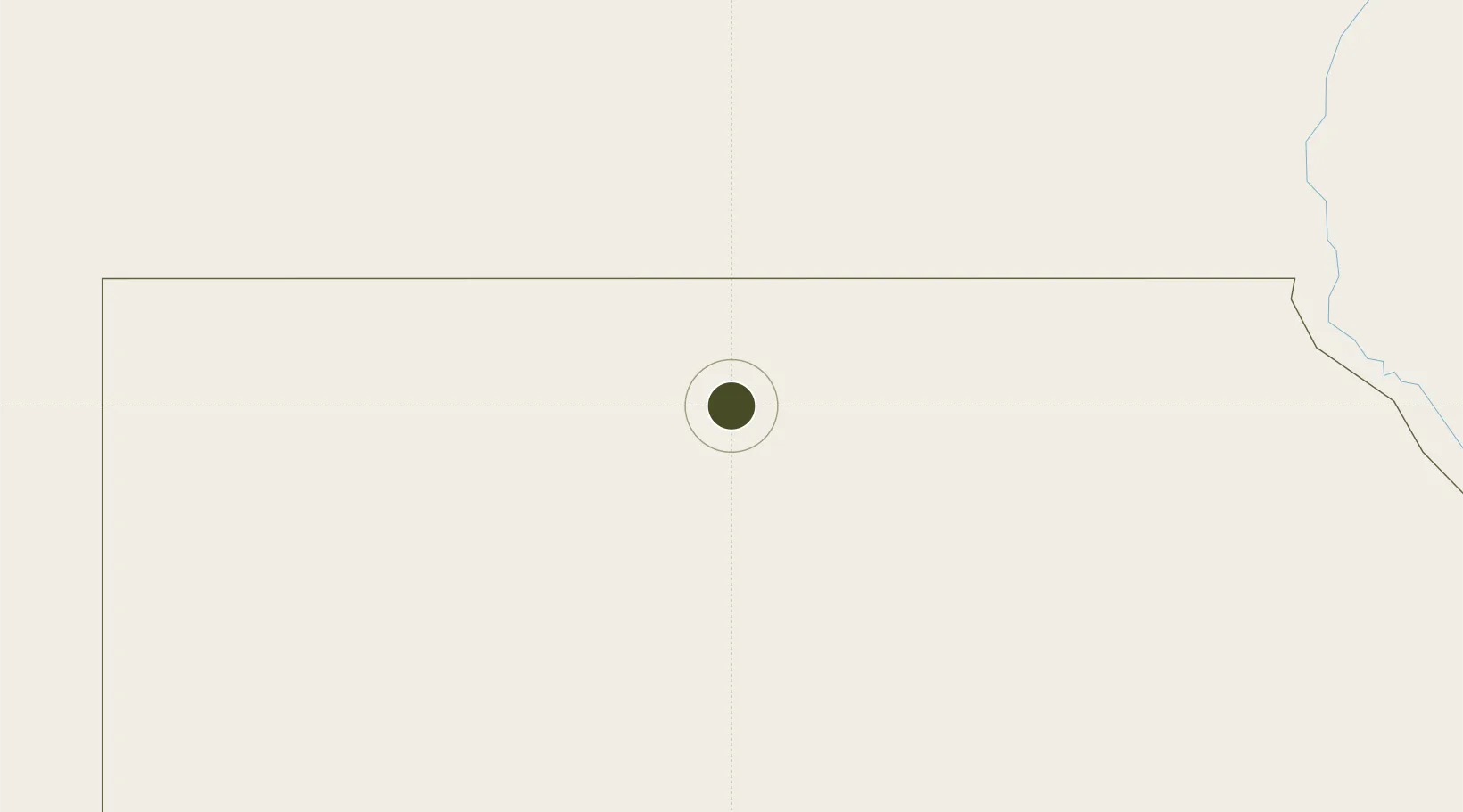
27.0569°, 27.9920°
42 ha
Zone area
444.8 km
Nearest port
299.1 km
Nearest airport

Gateway access

Nearest neighbours — logibook spatial index (haversine) over the source coordinates

Zone profile

Zone type
Economic Revitalization Project
Open Zone Map
Region
Al Wadi at Jadid
Open Zone Map
Status
Under Development
Open Zone Map
Management
Public
Open Zone Map
Operator
Matrouh Governorate
Open Zone Map
Legal framework
Law No. 83 on Special Economic Zones
Open Zone Map

Location

Location of ozm-1859
Natural Earth 10m (public domain) · Al Wadi at Jadid · ozm-1859 · 27.06, 27.99GoogleOSMYandex

Nearby Logistics Neighbours

Ports
  1. 1El Hamra Oil Terminal445 km
  2. 2Sidi Kerir (Kurayr)474 km
  3. 3Mersa Matruh483 km
  4. 4Al Iskandariyh (Alexandria)491 km
  5. 5El Maadiya513 km
Nearest neighbours — logibook spatial index (haversine) over the source coordinates
Airports
  1. 1Asyut International Airport299 km
  2. 2Siwa Oasis North Airport352 km
  3. 3Bani Sweif Air Base380 km
  4. 4Sohag International Airport381 km
  5. 5El Alamein International Airport433 km
Nearest neighbours — logibook spatial index (haversine) over the source coordinates
Cities
  1. 1Robertsham90 km
  2. 2Morningside110 km
  3. 3Kenna239 km
  4. 4Asyut316 km
  5. 5Beni Suef377 km
Nearest neighbours — logibook spatial index (haversine) over the source coordinates
Trade Zones
  1. 1Minya Free Zone295 km
  2. 2Technological Zone of Silicon Waha Company318 km
  3. 3El-Kawthar District Industrial Zone382 km
  4. 4El Saf Investment Zone426 km
  5. 5New Alamein City Investment Zone433 km
Nearest neighbours — logibook spatial index (haversine) over the source coordinates
DatabookThe Record of Consolidated Knowledge
Egypt beyond logistics?
Browse databook

All Sources

Trade ZonesOpen Zone Map
CC BY
Portsthe NGA World Port Index
Public domain (US gov)
AirportsOurAirports
Public domain
LocationsUN/LOCODE
UN/LOCODE — free
← Egypt trade zones