Transport Functions
Multimodal
Hub Profile
Place type
Urban district
Region
Gauteng
Time zone
Africa/Johannesburg
Elevation
1,564 m
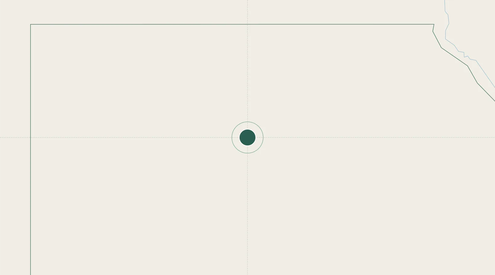
Location
Nearby Logistics Neighbours
Cities
- 1Robertsham21 km
- 2Kenna263 km
- 3Seshego281 km
- 4Asyut335 km
- 5Beni Suef448 km
Ports
- 1El Hamra Oil Terminal553 km
- 2Ras Gharib560 km
- 3Ras Shukhier567 km
- 4Sidi Kerir (Kurayr)577 km
- 5Ain Sukhna Terminal582 km
Airports
- 1Asyut International Airport314 km
- 2Sohag International Airport370 km
- 3Siwa Oasis North Airport442 km
- 4Bani Sweif Air Base455 km
- 5Luxor International Airport468 km
Trade Zones
DatabookThe Record of Consolidated Knowledge
South Africa beyond logistics?