UN/LOCODE hub · South Africa
ZAZEJ

Randvaal

-26.4833°, 28.0500°
1
Transport functions

Transport Functions

Multimodal
UN/LOCODE

Hub Profile

Place type
Populated place
GeoNames
Region
Gauteng
GeoNames
Time zone
Africa/Johannesburg
GeoNames
Elevation
1,508 m
GeoNames

Location

Location of ZAZEJ
Natural Earth 10m (public domain) · Gauteng · ZAZEJ · -26.48, 28.05GoogleOSMYandex

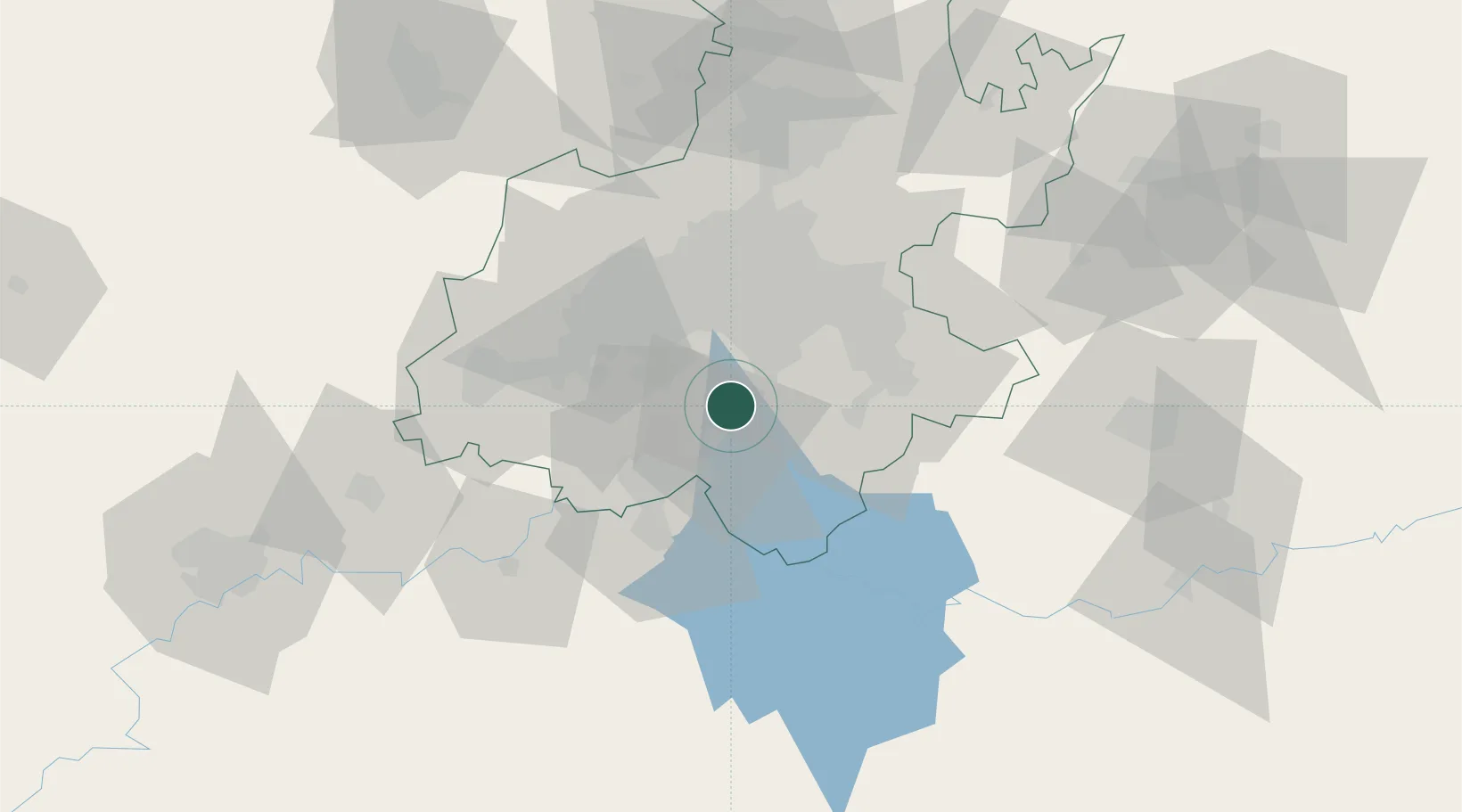
Nearby Logistics Neighbours

Cities
  1. 1De Deur13 km
  2. 2Langlaagte13 km
  3. 3North Riding15 km
  4. 4Amalgam16 km
  5. 5Eikenhof19 km
Nearest neighbours — logibook spatial index (haversine) over the source coordinates
Ports
  1. 1Maputo452 km
  2. 2Richards Bay475 km
  3. 3Durban479 km
  4. 4East London728 km
  5. 5Inhambane793 km
Nearest neighbours — logibook spatial index (haversine) over the source coordinates
Airports
  1. 1Vereeniging Airport13 km
  2. 2Rand Airport29 km
  3. 3O.R. Tambo International Airport43 km
  4. 4Grand Central Airport56 km
  5. 5Lanseria International Airport62 km
Nearest neighbours — logibook spatial index (haversine) over the source coordinates
Trade Zones
  1. 1Vaal Special Economic Zone31 km
  2. 2OR Tambo Industrial Development Zone44 km
  3. 3Tshwane Automotive Industrial Zone88 km
  4. 4Babelegi Industrial Park128 km
  5. 5Bojanala (Platinum Valley) Special Economic Zone156 km
Nearest neighbours — logibook spatial index (haversine) over the source coordinates
DatabookThe Record of Consolidated Knowledge
South Africa beyond logistics?
Browse databook

All Sources

LocationsUN/LOCODE
UN/LOCODE — free
Portsthe NGA World Port Index
Public domain (US gov)
AirportsOurAirports
Public domain
Trade Zonesthe World Bank SEZ database
CC BY 4.0
Trade ZonesOpen Zone Map
CC BY
← South Africa locations