UN/LOCODE hub · South Africa
ZAJNB
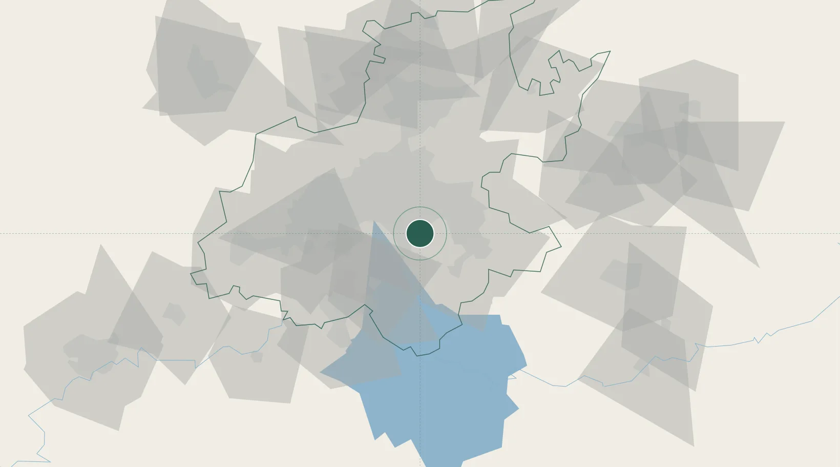
Johannesburg
-26.3404°, 28.2138°
9,418,183
Population
4
Transport functions
Transport Functions
Rail
Road
Airport
Postal
Hub Profile
Place type
Regional capital
Region
Gauteng
Population
9,418,183
Time zone
Africa/Johannesburg
Elevation
1,767 m
Logistics facilities
28
Location
Nearby Logistics Neighbours
Cities
- 1Berea14 km
- 2Dunswart/Boksburg17 km
- 3Langlaagte17 km
- 4Witfield18 km
- 5Denver18 km
Ports
- 1Maputo434 km
- 2Richards Bay471 km
- 3Durban482 km
- 4East London745 km
- 5Inhambane772 km
Airports
- 1Rand Airport13 km
- 2O.R. Tambo International Airport23 km
- 3Vereeniging Airport36 km
- 4Grand Central Airport40 km
- 5Lanseria International Airport53 km
Trade Zones
DatabookThe Record of Consolidated Knowledge
South Africa beyond logistics?