Specialized Zone · Eswatini

Mpaka Power Station Free Zone Under Development
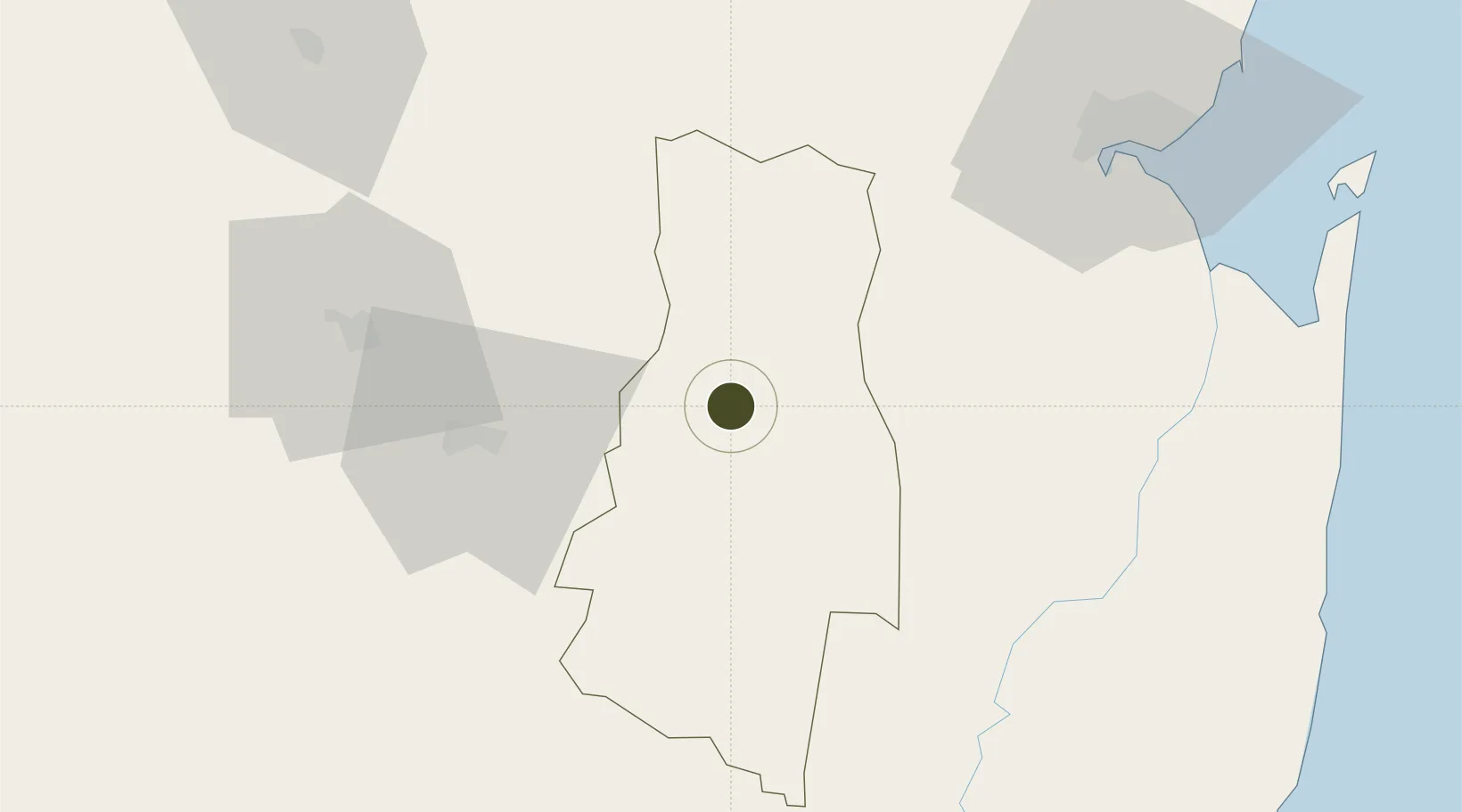
-26.4334°, 31.8089°
64 ha
Zone area
90.2 km
Nearest port
12.4 km
Nearest airport

Gateway access

Nearest neighbours — logibook spatial index (haversine) over the source coordinates

Zone profile

Zone type
Specialized Zone
Open Zone Map
Specialization
Mining
Open Zone Map
Region
Lubombo
Open Zone Map
Status
Under Development
Open Zone Map
Management
Public-Private Partnership
Open Zone Map
Operator
Osprey Enterprises, Government of the Kingdom of Eswatini, Canham Mining
Open Zone Map
Legal framework
Royal Science and Technology Park Act of 2012
Open Zone Map

Location

Location of ozm-1901
Natural Earth 10m (public domain) · Lubombo · ozm-1901 · -26.43, 31.81GoogleOSMYandex

Nearby Logistics Neighbours

Ports
  1. 1Maputo90 km
  2. 2Richards Bay266 km
  3. 3Durban389 km
  4. 4Inhambane457 km
  5. 5Beira796 km
Nearest neighbours — logibook spatial index (haversine) over the source coordinates
Airports
  1. 1King Mswati III International Airport12 km
  2. 2Matsapha International Airport51 km
  3. 3Maputo Airport95 km
  4. 4Barberton Airport115 km
  5. 5Mkuze Airport135 km
Nearest neighbours — logibook spatial index (haversine) over the source coordinates
Cities
  1. 1Siphofaneni31 km
  2. 2Sidvokodvo41 km
  3. 3Malkerns64 km
  4. 4Ezulwini64 km
  5. 5Motshane69 km
Nearest neighbours — logibook spatial index (haversine) over the source coordinates
Trade Zones
  1. 1Royal Science & Technology IT Park48 km
  2. 2Royal Science & Technology Biotech Park54 km
  3. 3Beluluane Industrial Free Zone83 km
  4. 4Moztex Industrial Free Zone94 km
  5. 5Mozal Industrial Free Zone94 km
Nearest neighbours — logibook spatial index (haversine) over the source coordinates
DatabookThe Record of Consolidated Knowledge
Eswatini beyond logistics?
Browse databook

All Sources

Trade ZonesOpen Zone Map
CC BY
Portsthe NGA World Port Index
Public domain (US gov)
AirportsOurAirports
Public domain
LocationsUN/LOCODE
UN/LOCODE — free
← Eswatini trade zones