UN/LOCODE hub · South Africa
ZAALH

Lothair

-26.3833°, 30.4333°
7,306
Population
2
Transport functions

Transport Functions

Road
Multimodal
UN/LOCODE

Hub Profile

Place type
Populated place
GeoNames
Region
Mpumalanga
GeoNames
Population
7,306
GeoNames
Time zone
Africa/Johannesburg
GeoNames
Elevation
1,721 m
GeoNames

Location

Location of ZAALH
Natural Earth 10m (public domain) · Mpumalanga · ZAALH · -26.38, 30.43GoogleOSMYandex

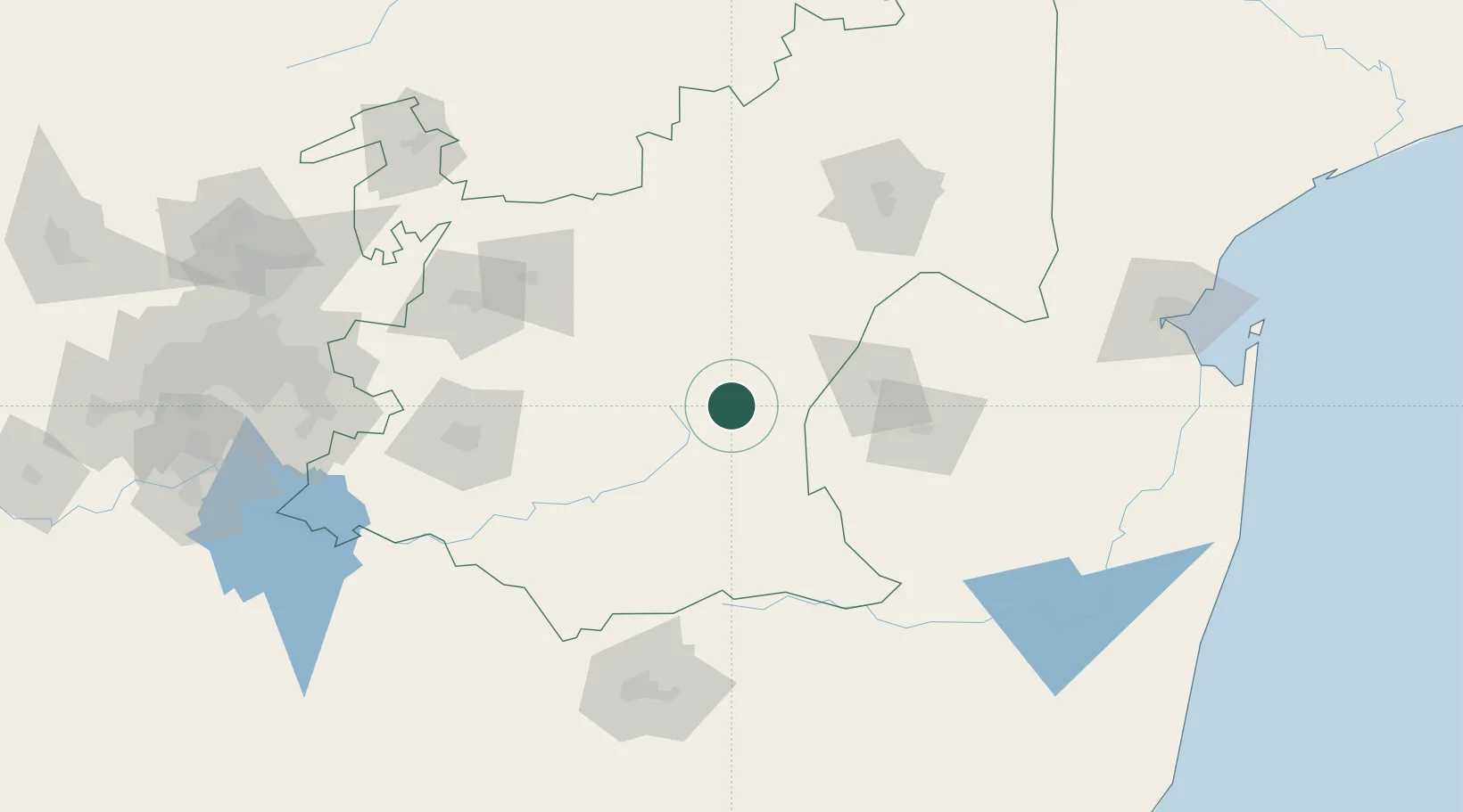
Nearby Logistics Neighbours

Cities
  1. 1Ermelo48 km
  2. 2Motshane70 km
  3. 3Ezulwini73 km
  4. 4Malkerns77 km
  5. 5Piet Retief78 km
Nearest neighbours — logibook spatial index (haversine) over the source coordinates
Ports
  1. 1Maputo216 km
  2. 2Richards Bay316 km
  3. 3Durban392 km
  4. 4Inhambane570 km
  5. 5East London778 km
Nearest neighbours — logibook spatial index (haversine) over the source coordinates
Airports
  1. 1Ermelo Airport47 km
  2. 2Matsapha International Airport89 km
  3. 3Barberton Airport92 km
  4. 4Secunda Airport127 km
  5. 5King Mswati III International Airport128 km
Nearest neighbours — logibook spatial index (haversine) over the source coordinates
Trade Zones
  1. 1Royal Science & Technology Biotech Park85 km
  2. 2Royal Science & Technology IT Park91 km
  3. 3Mpaka Power Station Free Zone137 km
  4. 4Tubatse Special Economic Zone178 km
  5. 5Nkomazi Special Economic Zone183 km
Nearest neighbours — logibook spatial index (haversine) over the source coordinates
DatabookThe Record of Consolidated Knowledge
South Africa beyond logistics?
Browse databook

All Sources

LocationsUN/LOCODE
UN/LOCODE — free
LocationsGeoNames
CC BY 4.0
Portsthe NGA World Port Index
Public domain (US gov)
AirportsOurAirports
Public domain
Trade Zonesthe World Bank SEZ database
CC BY 4.0
Trade ZonesOpen Zone Map
CC BY
← South Africa locations