Medium airport · South Africa

Barberton AirportFABR
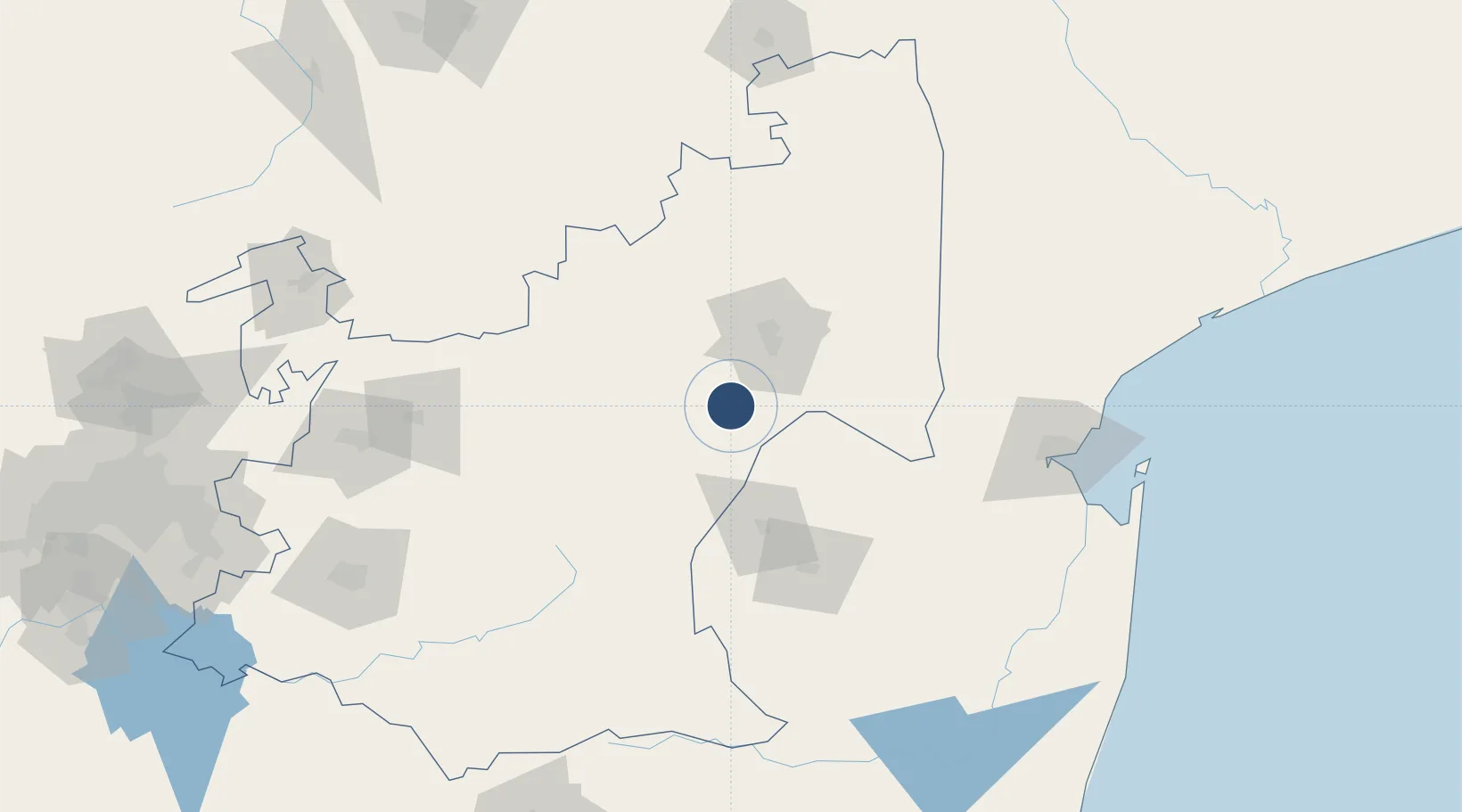
-25.7171°, 30.9750°
3,300 ft
Longest runway
1
Runways
2,250 ft
Elevation

Runway & Layout

Barberton Airport runway & taxiway layout
Runway & taxiway layout — OpenStreetMap (ODbL) / OurAirports

Radio Frequencies

ATF
123.95 MHz
Barberton
OurAirports

Runways · 1

RunwayDimensions SurfaceTrue headingLit
17/35 3,300 × 50ft Grass
OurAirports

Airport Specifications

ICAO code
FABR
OurAirports
Airport class
Medium airport
OurAirports
Scheduled service
No
OurAirports
Runway surface
Grass
OurAirports
Served city
Umjindi (Barberton)
OurAirports

Location

Location of FABR
Natural Earth 10m (public domain) · Mpumalanga · FABR · -25.72, 30.97GoogleOSMYandex

Nearby Logistics Neighbours

Airports
  1. 1Kruger Mpumalanga International Airport39 km
  2. 2Matsapha International Airport96 km
  3. 3King Mswati III International Airport103 km
  4. 4Skukuza Airport104 km
  5. 5Malamala Airport115 km
Nearest neighbours — logibook spatial index (haversine) over the source coordinates
Cities
  1. 1Barberton29 km
  2. 2Motshane69 km
  3. 3Kiepersol73 km
  4. 4Ezulwini78 km
  5. 5Lothair92 km
Nearest neighbours — logibook spatial index (haversine) over the source coordinates
Ports
  1. 1Maputo160 km
  2. 2Richards Bay361 km
  3. 3Durban462 km
  4. 4Inhambane489 km
  5. 5Beira764 km
Nearest neighbours — logibook spatial index (haversine) over the source coordinates
Trade Zones
  1. 1Royal Science & Technology Biotech Park95 km
  2. 2Royal Science & Technology IT Park96 km
  3. 3Nkomazi Special Economic Zone101 km
  4. 4Mpaka Power Station Free Zone115 km
  5. 5Tubatse Special Economic Zone133 km
Nearest neighbours — logibook spatial index (haversine) over the source coordinates
DatabookThe Record of Consolidated Knowledge
South Africa beyond logistics?
Browse databook

All Sources

AirportsOurAirports
Public domain
Portsthe NGA World Port Index
Public domain (US gov)
LocationsUN/LOCODE
UN/LOCODE — free
Trade Zonesthe World Bank SEZ database
CC BY 4.0
Trade ZonesOpen Zone Map
CC BY
InfrastructureOpenStreetMap
ODbL 1.0
← South Africa airports