Specialized Zone · Eswatini

Royal Science & Technology IT Park Active
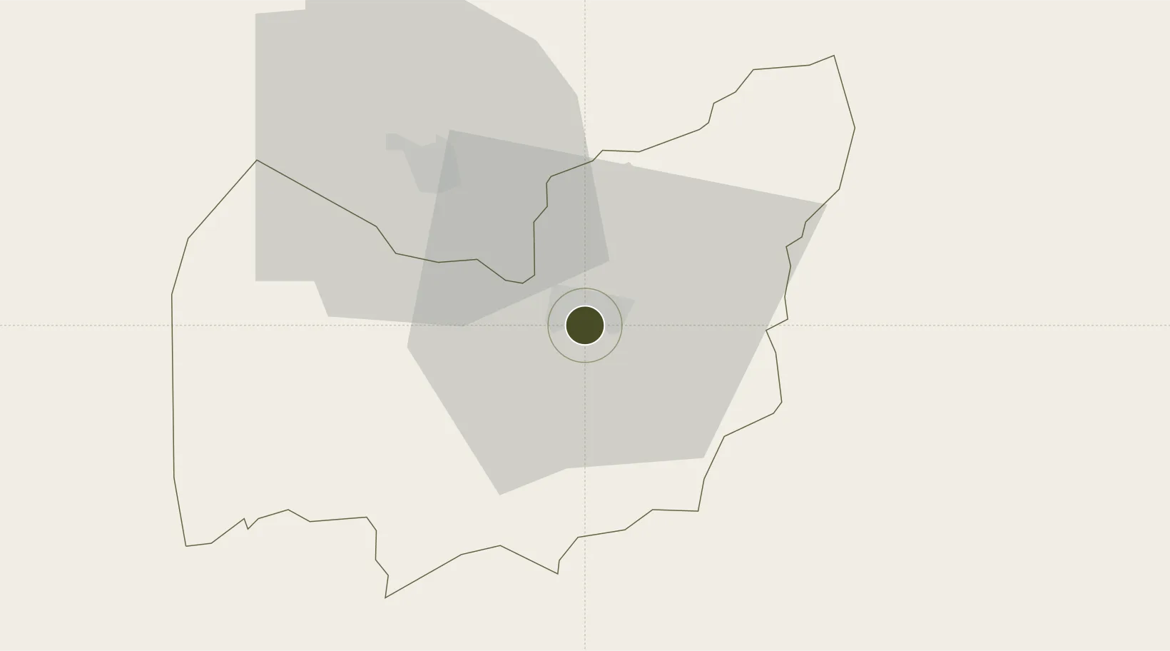
-26.5133°, 31.3365°
160 ha
Zone area
135.2 km
Nearest port
3.4 km
Nearest airport

Gateway access

Nearest neighbours — logibook spatial index (haversine) over the source coordinates

Zone profile

Zone type
Specialized Zone
Open Zone Map
Specialization
IT
Open Zone Map
Region
Manzini
Open Zone Map
Status
Active
Open Zone Map
Management
Public
Open Zone Map
Operator
The Royal Science and Technology Park
Open Zone Map
Legal framework
Royal Science and Technology Park Act of 2012
Open Zone Map

Location

Location of ozm-1900
Natural Earth 10m (public domain) · Manzini · ozm-1900 · -26.51, 31.34GoogleOSMYandex

Nearby Logistics Neighbours

Ports
  1. 1Maputo135 km
  2. 2Richards Bay266 km
  3. 3Durban374 km
  4. 4Inhambane500 km
  5. 5East London796 km
Nearest neighbours — logibook spatial index (haversine) over the source coordinates
Airports
  1. 1Matsapha International Airport3 km
  2. 2King Mswati III International Airport42 km
  3. 3Barberton Airport96 km
  4. 4Kruger Mpumalanga International Airport128 km
  5. 5Ermelo Airport135 km
Nearest neighbours — logibook spatial index (haversine) over the source coordinates
Cities
  1. 1Sidvokodvo16 km
  2. 2Malkerns16 km
  3. 3Ezulwini21 km
  4. 4Motshane30 km
  5. 5Siphofaneni39 km
Nearest neighbours — logibook spatial index (haversine) over the source coordinates
Trade Zones
  1. 1Royal Science & Technology Biotech Park6 km
  2. 2Mpaka Power Station Free Zone48 km
  3. 3Beluluane Industrial Free Zone126 km
  4. 4Nkomazi Special Economic Zone133 km
  5. 5Moztex Industrial Free Zone139 km
Nearest neighbours — logibook spatial index (haversine) over the source coordinates
DatabookThe Record of Consolidated Knowledge
Eswatini beyond logistics?
Browse databook

All Sources

Trade ZonesOpen Zone Map
CC BY
Portsthe NGA World Port Index
Public domain (US gov)
AirportsOurAirports
Public domain
LocationsUN/LOCODE
UN/LOCODE — free
← Eswatini trade zones