Transport Functions
Multimodal
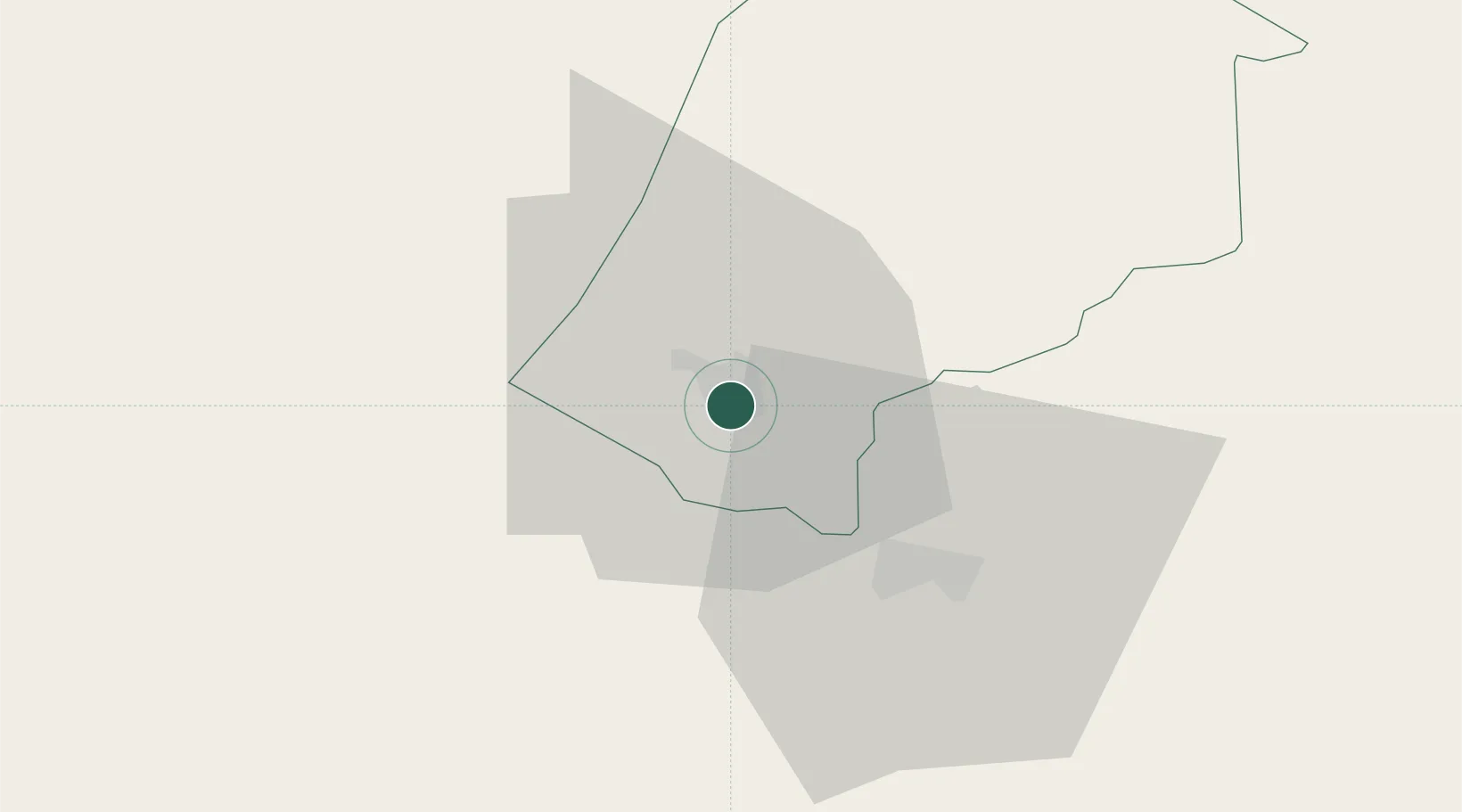
Location
Nearby Logistics Neighbours
Cities
- 1Ezulwini10 km
- 2Malkerns28 km
- 3Sidvokodvo46 km
- 4Siphofaneni68 km
- 5Lothair70 km
Ports
- 1Maputo146 km
- 2Richards Bay293 km
- 3Durban395 km
- 4Inhambane506 km
- 5East London809 km
Airports
Trade Zones
DatabookThe Record of Consolidated Knowledge
Eswatini beyond logistics?