UN/LOCODE hub · South Africa
ZAPRF
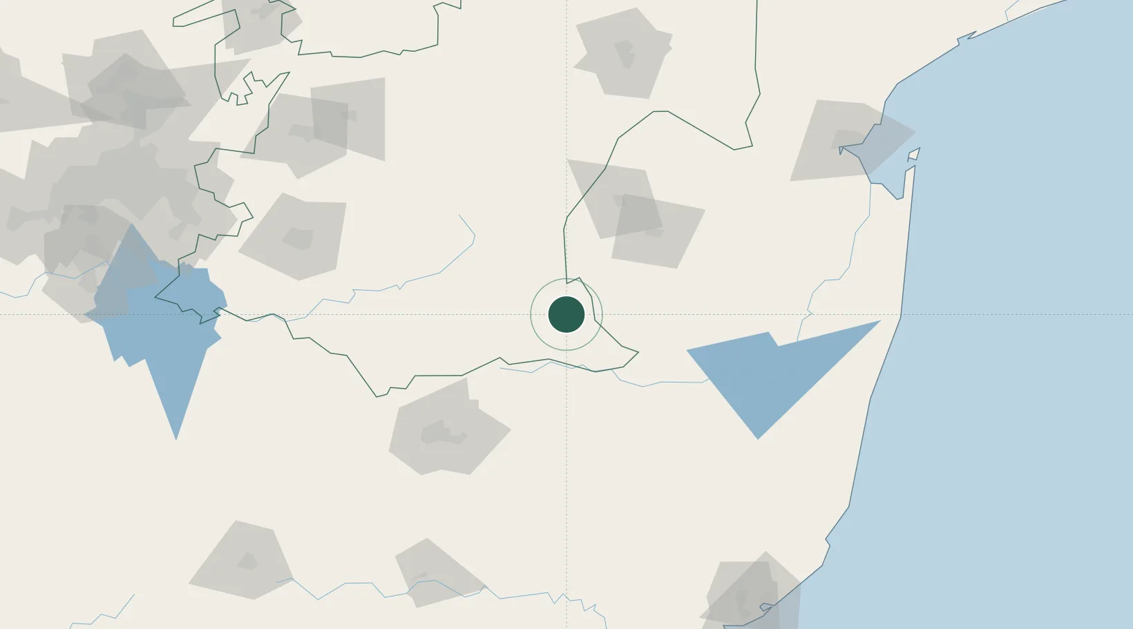
Piet Retief
-27.0000°, 30.8000°
84,349
Population
3
Transport functions
Transport Functions
Rail
Road
Postal
Hub Profile
Place type
District seat
Region
Mpumalanga
Population
84,349
Time zone
Africa/Johannesburg
Elevation
1,251 m
Location
Nearby Logistics Neighbours
Cities
- 1Nhlangano42 km
- 2Malkerns61 km
- 3Ezulwini76 km
- 4Sidvokodvo77 km
- 5Lothair78 km
Ports
- 1Maputo209 km
- 2Richards Bay238 km
- 3Durban320 km
- 4Inhambane575 km
- 5East London726 km
Airports
- 1Matsapha International Airport73 km
- 2Ermelo Airport99 km
- 3King Mswati III International Airport116 km
- 4Newcastle Airport118 km
- 5Mkuze Airport141 km
Trade Zones
DatabookThe Record of Consolidated Knowledge
South Africa beyond logistics?