Large airport · Eswatini

Matsapha International AirportFDMS
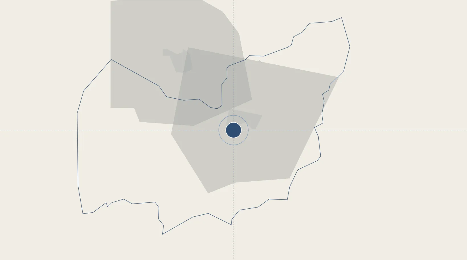
-26.5289°, 31.3076°
8,530 ft
Longest runway
1
Runways
2,075 ft
Elevation

Runway & Layout

Matsapha International Airport runway & taxiway layout
Runway & taxiway layout — OpenStreetMap (ODbL) / OurAirports

Radio Frequencies

TWR
124.9 MHz
GND
121.7 MHz
APP
124.9 MHz
OurAirports

Navaids

MS NDB Matsapha 263 kHz
VMS VOR-DME Matsapha 112.30 MHz
OurAirports

Runways · 1

RunwayDimensions SurfaceTrue headingLit
07/25 8,530 × 148ft Asphalt 053°
OurAirports

Airport Specifications

IATA code
MTS
OurAirports
ICAO code
FDMS
OurAirports
Airport class
Large airport
OurAirports
Scheduled service
Yes
OurAirports
Runway surface
Asphalt
OurAirports
Served city
Manzini
OurAirports

Location

Location of FDMS
Natural Earth 10m (public domain) · Manzini · FDMS · -26.53, 31.31GoogleOSMYandex

Nearby Logistics Neighbours

Airports
  1. 1King Mswati III International Airport45 km
  2. 2Barberton Airport96 km
  3. 3Kruger Mpumalanga International Airport129 km
  4. 4Ermelo Airport132 km
  5. 5Mkuze Airport142 km
Nearest neighbours — logibook spatial index (haversine) over the source coordinates
Cities
  1. 1Malkerns13 km
  2. 2Sidvokodvo17 km
  3. 3Ezulwini20 km
  4. 4Motshane29 km
  5. 5Siphofaneni41 km
Nearest neighbours — logibook spatial index (haversine) over the source coordinates
Ports
  1. 1Maputo139 km
  2. 2Richards Bay265 km
  3. 3Durban372 km
  4. 4Inhambane504 km
  5. 5East London794 km
Nearest neighbours — logibook spatial index (haversine) over the source coordinates
Trade Zones
  1. 1Royal Science & Technology IT Park3 km
  2. 2Royal Science & Technology Biotech Park3 km
  3. 3Mpaka Power Station Free Zone51 km
  4. 4Beluluane Industrial Free Zone129 km
  5. 5Nkomazi Special Economic Zone136 km
Nearest neighbours — logibook spatial index (haversine) over the source coordinates
DatabookThe Record of Consolidated Knowledge
Eswatini beyond logistics?
Browse databook

All Sources

AirportsOurAirports
Public domain
Portsthe NGA World Port Index
Public domain (US gov)
LocationsUN/LOCODE
UN/LOCODE — free
Trade Zonesthe World Bank SEZ database
CC BY 4.0
Trade ZonesOpen Zone Map
CC BY
InfrastructureOpenStreetMap
ODbL 1.0
← Eswatini airports