Transport Functions
Multimodal
Hub Profile
Place type
Populated place
Region
Gauteng
Time zone
Africa/Johannesburg
Elevation
1,528 m
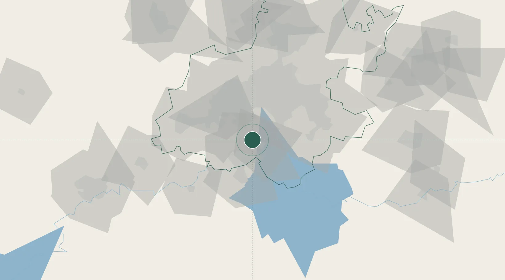
Location
Nearby Logistics Neighbours
Cities
- 1Randvaal13 km
- 2Duncanville/Vereeniging13 km
- 3Amalgam21 km
- 4Langlaagte22 km
- 5Eikenhof23 km
Ports
- 1Maputo464 km
- 2Durban481 km
- 3Richards Bay482 km
- 4East London723 km
- 5Inhambane805 km
Airports
- 1Vereeniging Airport5 km
- 2Rand Airport39 km
- 3O.R. Tambo International Airport54 km
- 4Grand Central Airport64 km
- 5Lanseria International Airport66 km
Trade Zones
DatabookThe Record of Consolidated Knowledge
South Africa beyond logistics?