Large airport · Eswatini

King Mswati III International AirportFDSK
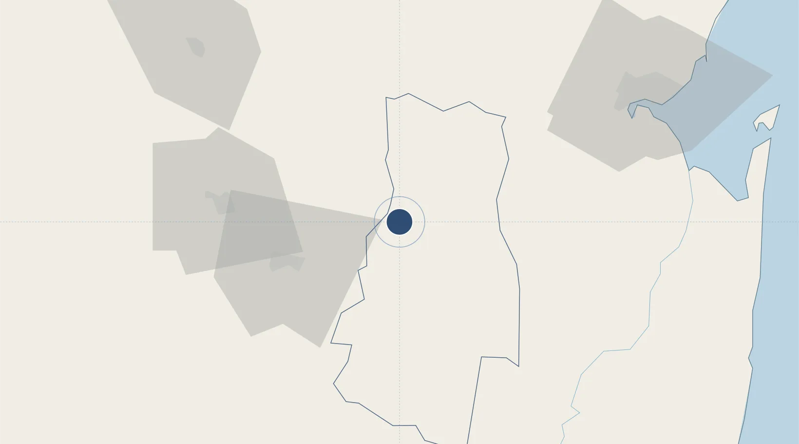
-26.3586°, 31.7169°
11,811 ft
Longest runway
1
Runways
1,092 ft
Elevation

Runway & Layout

King Mswati III International Airport runway & taxiway layout
Runway & taxiway layout — OpenStreetMap (ODbL) / OurAirports

Radio Frequencies

TWR
118.55 MHz
Sikhuphe Tower
GND
121.8 MHz
Sikhuphe Ground Control
APP
128 MHz
Sikhuphe Aproach Control
OurAirports

Runways · 1

RunwayDimensions SurfaceTrue headingLit
02/20 11,811 × 197ft Asphalt
OurAirports

Airport Specifications

IATA code
SHO
OurAirports
ICAO code
FDSK
OurAirports
Airport class
Large airport
OurAirports
Scheduled service
Yes
OurAirports
Runway surface
Asphalt
OurAirports
Served city
Mpaka
OurAirports

Location

Location of FDSK
Natural Earth 10m (public domain) · Lubombo · FDSK · -26.36, 31.72GoogleOSMYandex

Nearby Logistics Neighbours

Airports
  1. 1Matsapha International Airport45 km
  2. 2Maputo Airport98 km
  3. 3Barberton Airport103 km
  4. 4Kruger Mpumalanga International Airport125 km
  5. 5Mkuze Airport145 km
Nearest neighbours — logibook spatial index (haversine) over the source coordinates
Cities
  1. 1Siphofaneni36 km
  2. 2Sidvokodvo39 km
  3. 3Ezulwini55 km
  4. 4Malkerns58 km
  5. 5Motshane58 km
Nearest neighbours — logibook spatial index (haversine) over the source coordinates
Ports
  1. 1Maputo94 km
  2. 2Richards Bay275 km
  3. 3Durban395 km
  4. 4Inhambane460 km
  5. 5Beira792 km
Nearest neighbours — logibook spatial index (haversine) over the source coordinates
Trade Zones
  1. 1Mpaka Power Station Free Zone12 km
  2. 2Royal Science & Technology IT Park42 km
  3. 3Royal Science & Technology Biotech Park48 km
  4. 4Beluluane Industrial Free Zone85 km
  5. 5Moztex Industrial Free Zone98 km
Nearest neighbours — logibook spatial index (haversine) over the source coordinates
DatabookThe Record of Consolidated Knowledge
Eswatini beyond logistics?
Browse databook

All Sources

AirportsOurAirports
Public domain
Portsthe NGA World Port Index
Public domain (US gov)
LocationsUN/LOCODE
UN/LOCODE — free
Trade Zonesthe World Bank SEZ database
CC BY 4.0
Trade ZonesOpen Zone Map
CC BY
InfrastructureOpenStreetMap
ODbL 1.0
← Eswatini airports