Transport Functions
Port
Road
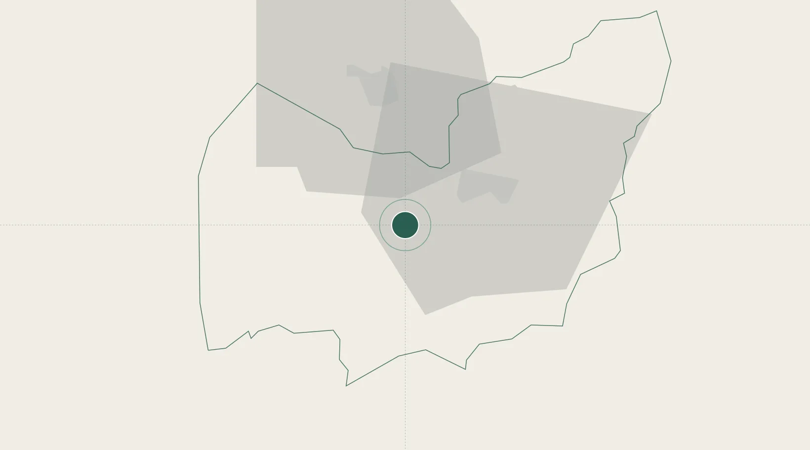
Hub Profile
Place type
Populated place
Region
Manzini Region
Population
9,724
Time zone
Africa/Mbabane
Elevation
807 m
Location
Nearby Logistics Neighbours
Cities
- 1Ezulwini19 km
- 2Sidvokodvo27 km
- 3Motshane28 km
- 4Siphofaneni51 km
- 5Nhlangano61 km
Ports
- 1Maputo151 km
- 2Richards Bay265 km
- 3Durban367 km
- 4Inhambane516 km
- 5East London785 km
Airports
Trade Zones
DatabookThe Record of Consolidated Knowledge
Eswatini beyond logistics?