Transport Functions
Multimodal
Hub Profile
Place type
Populated place
Region
Lubombo Region
Time zone
Africa/Mbabane
Elevation
781 m
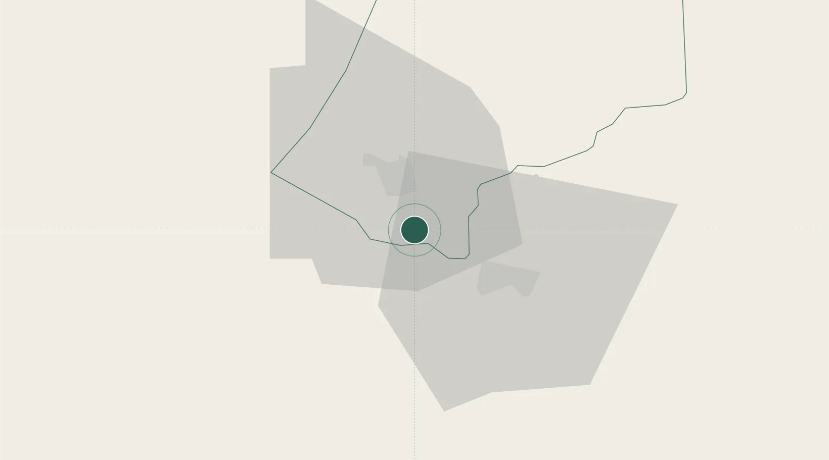
Location
Nearby Logistics Neighbours
Cities
- 1Motshane10 km
- 2Malkerns19 km
- 3Sidvokodvo37 km
- 4Siphofaneni60 km
- 5Lothair73 km
Ports
- 1Maputo146 km
- 2Richards Bay283 km
- 3Durban386 km
- 4Inhambane508 km
- 5East London802 km
Airports
Trade Zones
DatabookThe Record of Consolidated Knowledge
Eswatini beyond logistics?