Large airport · Yemen

Riyan International AirportOYRN
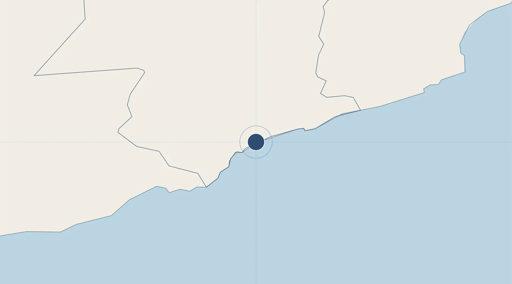
14.6622°, 49.3753°
9,843 ft
Longest runway
1
Runways
54 ft
Elevation

Runway & Layout

Riyan International Airport runway & taxiway layout
Runway & taxiway layout — OpenStreetMap (ODbL) / OurAirports

Radio Frequencies

TWR
118.3 MHz
GND
121.9 MHz
RDO
565.8 MHz
OurAirports

Navaids

RIN VOR-DME Riyan 116.00 MHz
OurAirports

Runways · 1

RunwayDimensions SurfaceTrue headingLit
06/24 9,843 × 148ft Asphalt 062°
OurAirports

Airport Specifications

IATA code
RIY
OurAirports
ICAO code
OYRN
OurAirports
Airport class
Large airport
OurAirports
Scheduled service
Yes
OurAirports
Runway surface
Asphalt
OurAirports
Served city
Mukalla(Riyan)
OurAirports

Location

Location of OYRN
Natural Earth 10m (public domain) · Hadramawt · OYRN · 14.66, 49.38GoogleOSMYandex

Nearby Logistics Neighbours

Airports
  1. 1Seiyun Hadhramaut International Airport158 km
  2. 2Ataq Airport275 km
  3. 3Al Ghaydah International Airport345 km
  4. 4Bender Qassim International Airport378 km
  5. 5Sharurah Domestic Airport394 km
Nearest neighbours — logibook spatial index (haversine) over the source coordinates
Cities
  1. 1Mukalla29 km
  2. 2Al Mukalla32 km
  3. 3Habaching382 km
  4. 4Chorula388 km
  5. 5Al Mazunah495 km
Nearest neighbours — logibook spatial index (haversine) over the source coordinates
Ports
  1. 1Ash Shihr Oil Terminal12 km
  2. 2Al Mukalla32 km
  3. 3Balhaf150 km
  4. 4Nishtun329 km
  5. 5Boosaaso376 km
Nearest neighbours — logibook spatial index (haversine) over the source coordinates
Trade Zones
  1. 1Al Mazunah Free Zone497 km
  2. 2Aden Free Zone516 km
  3. 3Salalah Ṣalālah Free Zone566 km
  4. 4Najran Industrial City628 km
  5. 5Berbera Economic Free Zone668 km
Nearest neighbours — logibook spatial index (haversine) over the source coordinates
DatabookThe Record of Consolidated Knowledge
Yemen beyond logistics?
Browse databook

All Sources

AirportsOurAirports
Public domain
Portsthe NGA World Port Index
Public domain (US gov)
LocationsUN/LOCODE
UN/LOCODE — free
Trade Zonesthe World Bank SEZ database
CC BY 4.0
Trade ZonesOpen Zone Map
CC BY
InfrastructureOpenStreetMap
ODbL 1.0
← Yemen airports