Transport Functions
Multimodal
Hub Profile
Region
HD
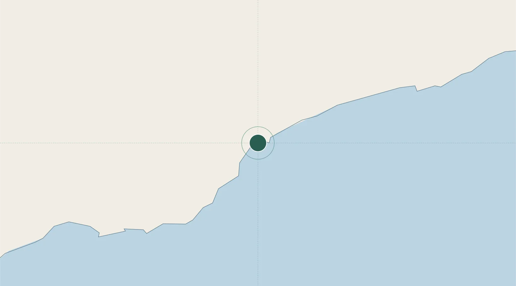
Location
Nearby Logistics Neighbours
Ports
- 1Ash Shihr Oil Terminal44 km
- 2Balhaf118 km
- 3Boosaaso360 km
- 4Nishtun361 km
- 5Aden490 km
Airports
Trade Zones
- 1Aden Free Zone484 km
- 2Al Mazunah Free Zone528 km
- 3Salalah Ṣalālah Free Zone598 km
- 4Najran Industrial City614 km
- 5Berbera Economic Free Zone637 km
DatabookThe Record of Consolidated Knowledge
Yemen beyond logistics?