UN/LOCODE hub · Vietnam
VNNCN

Nam Can Port

8.8167°, 105.0167°
2
Transport functions

Transport Functions

Port
Road
UN/LOCODE

Hub Profile

Region
59
GeoNames

Location

Location of VNNCN
Natural Earth 10m (public domain) · 59 · VNNCN · 8.82, 105.02GoogleOSMYandex

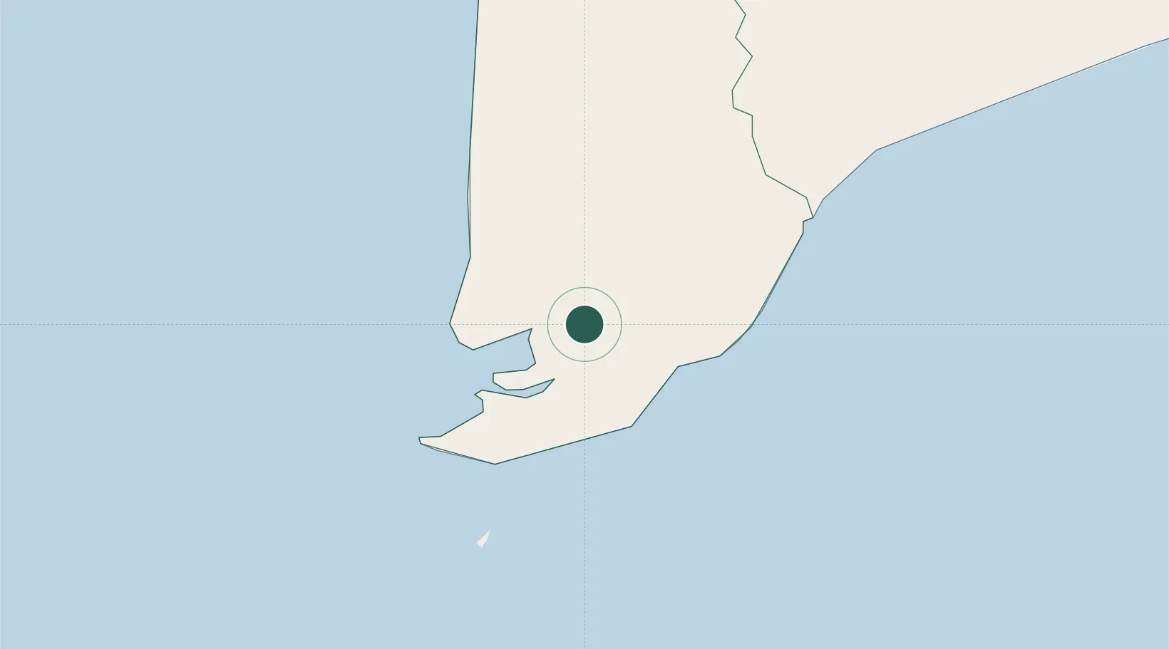
Nearby Logistics Neighbours

Cities
  1. 1Vinalines Hau Giang Port39 km
  2. 2Can Tho158 km
  3. 3Tra Noc161 km
  4. 4Ben Dam Con Dao Terminals170 km
  5. 5Sa Déc184 km
Nearest neighbours — logibook spatial index (haversine) over the source coordinates
Ports
  1. 1Duong Dong194 km
  2. 2Kampong Saom262 km
  3. 3Vung Tau280 km
  4. 4Thanh Ho Chi Minh286 km
  5. 5Cat Lai289 km
Nearest neighbours — logibook spatial index (haversine) over the source coordinates
Airports
  1. 1Cà Mau Airport44 km
  2. 2Rach Gia Airport128 km
  3. 3Can Tho International Airport160 km
  4. 4Con Dao Airport178 km
  5. 5Phú Quốc International Airport188 km
Nearest neighbours — logibook spatial index (haversine) over the source coordinates
Trade Zones
  1. 1Nam Can Industrial Zone3 km
  2. 2Nam Can Coastal Economic Zone43 km
  3. 3Tra Noc 1 Industrial Zone162 km
  4. 4Tra Noc 2 Industrial Zone162 km
  5. 5Phu Quoc Island Coastal Economic Zone175 km
Nearest neighbours — logibook spatial index (haversine) over the source coordinates
DatabookThe Record of Consolidated Knowledge
Vietnam beyond logistics?
Browse databook

All Sources

LocationsUN/LOCODE
UN/LOCODE — free
Portsthe NGA World Port Index
Public domain (US gov)
AirportsOurAirports
Public domain
Trade Zonesthe World Bank SEZ database
CC BY 4.0
Trade ZonesOpen Zone Map
CC BY
← Vietnam locations