Transport Functions
Port
Road
Hub Profile
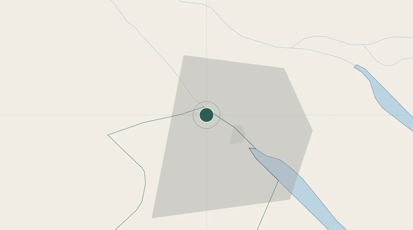
Place type
Populated place
Region
Vinh Long
Time zone
Asia/Ho_Chi_Minh
Elevation
6 m
Location
Nearby Logistics Neighbours
Ports
- 1Thanh Ho Chi Minh134 km
- 2Cat Lai139 km
- 3Thanh Hoa141 km
- 4Vung Tau152 km
- 5Phu My155 km
Airports
- 1Can Tho International Airport2 km
- 2Rach Gia Airport64 km
- 3Cà Mau Airport118 km
- 4Tan Son Nhat International Airport131 km
- 5Techo International Airport164 km
Trade Zones
DatabookThe Record of Consolidated Knowledge
Vietnam beyond logistics?